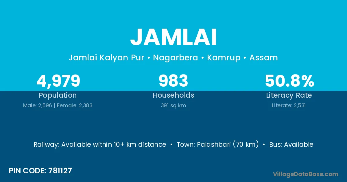
Jamlai village is located in the Nagarbera Subdivision of the Kamrup district in Assam .
Block / Subdivision → Nagarbera
District → Kamrup
State → Assam
According to Census 2011 information, the village code of Jamlai village is 781127.
Jamlai village has a total population of 4,979 people, of which 2,596 are males and 2,383 are females.
The literacy rate of Jamlai village is 50.83%. Male literacy stands at 54.12% and female literacy at 47.25%.
There are approximately 983 households in Jamlai village.
Palashbari (70 km) is the nearest town to Jamlai village for major economic activities and is located approximately 70 km away.
The population of Jamlai village is distributed between literate and illiterate residents as follows:
| Particulars | Male | Female | Total |
|---|---|---|---|
| Literate | 1,405 | 1,126 | 2,531 |
| Illiterate | 1,191 | 1,257 | 2,448 |
| Total | 2,596 | 2,383 | 4,979 |
Source: Census 2011
| Village | District |
|---|---|
| Dekuchi | Kamrup |
| Halila Pathar | Kamrup |
| Jamali N C | Kamrup |
| Jogipara | Bongaigaon |
| Jogipara | Darrang |
| Jogipara | Darrang |
| Jogipara | Dhubri |
| Jogipara | Dhubri |
| Jogipara | Kamrup |
| Jogipara | Kamrup Metropolitan |
| Kalayanpur | Kamrup |
| Kalayanpur | Munger |
| Kalayanpur | Deoghar |
| Kalayanpur | Mau |
| Khemari | Kamrup |
| Malibari Satra | Kamrup |
| Mandira Pathar | Kamrup |
| Nichalamari | Kamrup |
| Nitarkhola Reserve | Kamrup |
| Pujupara | Kamrup |
No reviews yet. Be the first to review this village!
Available within 10+ km distance
Available within village
Available within village