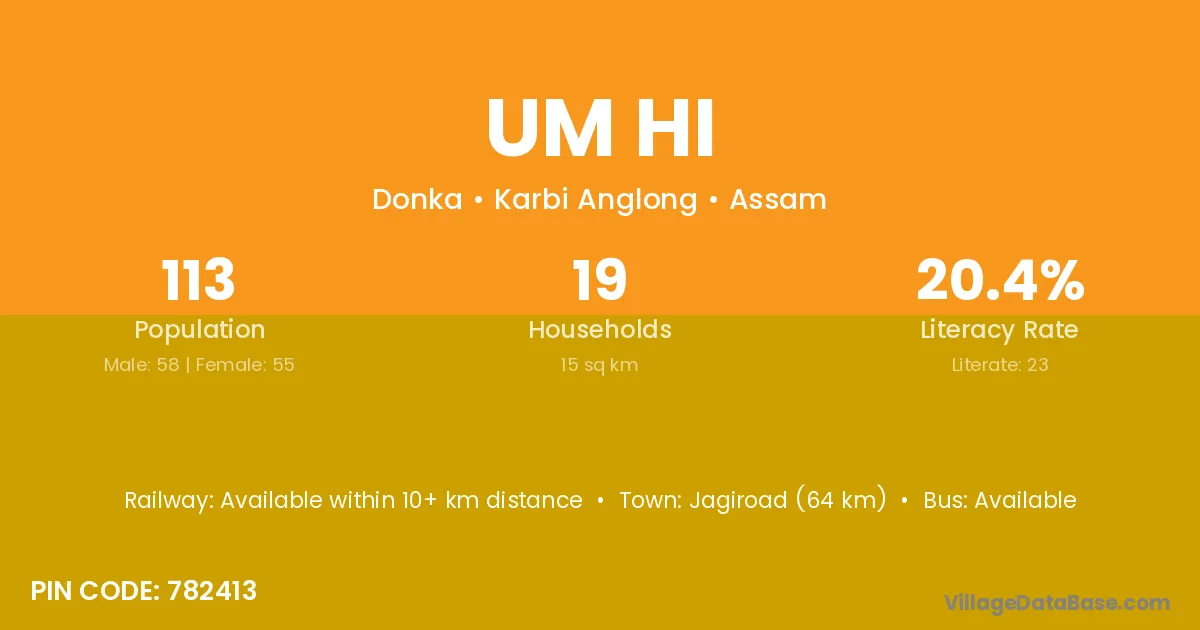
Um Hi village is located in the Donka Subdivision of the Karbi Anglong district in Assam .
Block / Subdivision → Donka
District → Karbi Anglong
State → Assam
According to Census 2011 information, the village code of Um Hi village is 782413.
Um Hi village has a total population of 113 people, of which 58 are males and 55 are females.
The literacy rate of Um Hi village is 20.35%. Male literacy stands at 27.59% and female literacy at 12.73%.
There are approximately 19 households in Um Hi village.
Jagiroad (64 km) is the nearest town to Um Hi village for major economic activities and is located approximately 64 km away.
The population of Um Hi village is distributed between literate and illiterate residents as follows:
| Particulars | Male | Female | Total |
|---|---|---|---|
| Literate | 16 | 7 | 23 |
| Illiterate | 42 | 48 | 90 |
| Total | 58 | 55 | 113 |
Source: Census 2011
| Village | District |
|---|---|
| Birsingki | Karbi Anglong |
| Denghar | Karbi Anglong |
| Denghar | Siddharthnagar |
| Khon Amkha | Karbi Anglong |
| Langhanjar | Karbi Anglong |
| Mokoidharam | Karbi Anglong |
| Rongchek | Karbi Anglong |
| Umjiri | Karbi Anglong |
| Umpanai | Karbi Anglong |
| Umpanai Dukan | Karbi Anglong |
| Umsamukh | Karbi Anglong |
| Umseneng | Karbi Anglong |
No reviews yet. Be the first to review this village!
Available within 10+ km distance
Available within 10+ km distance
Available within village