Welcome Back

Forgot password?
Don't have an account?
🏘️ Menu
Surendranagar District 0.0 / 5 (0)

Ughal Village Detailed Information

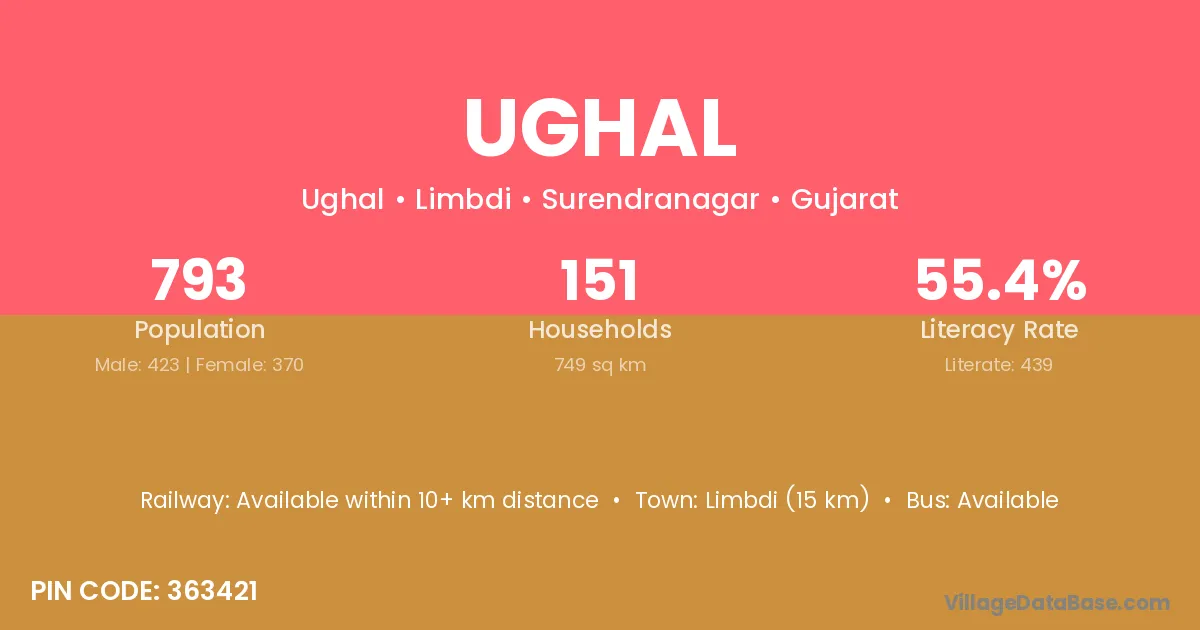
Ughal village is located in the Limbdi Taluka of the Surendranagar district in Gujarat .

About Ughal Village

Block / Taluka → Limbdi

District → Surendranagar

State → Gujarat

According to Census 2011 information, the village code of Ughal village is 363421.

Ughal village has a total population of 793 people, of which 423 are males and 370 are females.

The literacy rate of Ughal village is 55.36%. Male literacy stands at 65.48% and female literacy at 43.78%.

There are approximately 151 households in Ughal village.

Limbdi (15 km) is the nearest town to Ughal village for major economic activities and is located approximately 15 km away.

Population of Ughal Village

The population of Ughal village is distributed between literate and illiterate residents as follows:

Population distribution of Ughal village by literacy and gender
Particulars Male Female Total
Literate 277 162 439
Illiterate 146 208 354
Total 423 370 793

Source: Census 2011

Nearby Villages

List of nearby villages around Ughal village
Village District
Bodiya Ahmadabad
Bodiya Amreli
Bodiya Surendranagar
Bodiya Dhar
Bodiya Banswara
Borana Kachchh
Borana Surendranagar
Borana Alirajpur
Borana Bhilwara
Borna Khagaria
Borna Surendranagar
Borna Sahibganj
Borna Sehore
Choki Bharuch
Choki Dohad
Choki Junagadh
Choki Surendranagar
Choki Jammu
Choki Vidisha
Choki Udaipur
Choki Udaipur
Choraniya Surendranagar
Jakhan Surendranagar
Jakhan Udhampur
Jakhan Jodhpur
Jakhan Nagaur
Liyad Surendranagar
Pandri Bilaspur
Pandri Koriya
Pandri Surguja
Pandri Surendranagar
Pandri Fatehabad
Pandri Giridih
Pandri Bhind
Pandri Hoshangabad
Pandri Jharsuguda
Pandri Bara Banki
Pandri Bareilly
Pandri Basti
Pandri Pilibhit
Pandri Pratapgarh
Pandri Siddharthnagar
Pandri Sultanpur
Sauka Surendranagar
Sauka Ranchi
Untadi Junagadh
Untadi Panch Mahals
Untadi Surendranagar
Zamdi Bharuch
Zamdi Surendranagar

Frequently Asked Questions

Ughal village is located in the Limbdi Taluka of the Surendranagar district in Gujarat.
The total population is 793 people.
423 males and 370 females.
The literacy rate is 55.36%.
Male literacy rate is 65.48%, and female literacy rate is 43.78%.
There are approximately 151 houses in Ughal village.
Limbdi (15 km) is the nearest town, located approximately 15 km away.

Reviews and Ratings

0.0 / 5 (0 reviews)

Reviews

No reviews yet. Be the first to review this village!

Ughal Village Statistics

Population
793
Area
749 km²
Households
151
Nearest Town :
Limbdi (15 km)

Quick Information

State / UT : Gujarat
Pincode : 363421
Total Area : 749 km²
Population : 793
Households : 151
Gram Panchayat : Ughal
Nearest Town : Limbdi (15 km)

Connectivity of Ughal

🚂 Railway Station

Available within 10+ km distance

🚌 Public Bus Service

Available within village

🚌 Private Bus Service

Available within 10+ km distance

Need Help?

Contact local tourism office for assistance