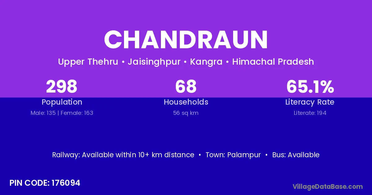
Chandraun village is located in the Jaisinghpur Tehsil of the Kangra district in Himachal Pradesh .
Block / Tehsil → Jaisinghpur
District → Kangra
State → Himachal Pradesh
According to Census 2011 information, the village code of Chandraun village is 176094.
Chandraun village has a total population of 298 people, of which 135 are males and 163 are females.
The literacy rate of Chandraun village is 65.10%. Male literacy stands at 72.59% and female literacy at 58.90%.
There are approximately 68 households in Chandraun village.
Palampur is the nearest town to Chandraun village for major economic activities
The population of Chandraun village is distributed between literate and illiterate residents as follows:
| Particulars | Male | Female | Total |
|---|---|---|---|
| Literate | 98 | 96 | 194 |
| Illiterate | 37 | 67 | 104 |
| Total | 135 | 163 | 298 |
Source: Census 2011
| Village | District |
|---|---|
| Ashapuri | Kangra |
| Ashapuri | Raisen |
| Chambe Da Lahr | Kangra |
| Dugruhi | Kangra |
| Jalari | Kangra |
| Jalari | Kangra |
| Jalari | Mandi |
| Jalari | Pithoragarh |
| Kasehda | Kangra |
| Kosri Khas | Kangra |
| Nagban Buhla | Kangra |
| Nagban Uparla | Kangra |
| Theru Buhla | Kangra |
| Theru Uparla | Kangra |
| Umar | Kangra |
| Umar | Kangra |
| Umar | Dewas |
| Umar | Neemuch |
| Umar | Ratlam |
| Umar | Cuttack |
| Umar | Bundi |
| Umar | Chittaurgarh |
| Umar | Pratapgarh |
No reviews yet. Be the first to review this village!
Available within 10+ km distance
Available within <5 km distance
Available within <5 km distance