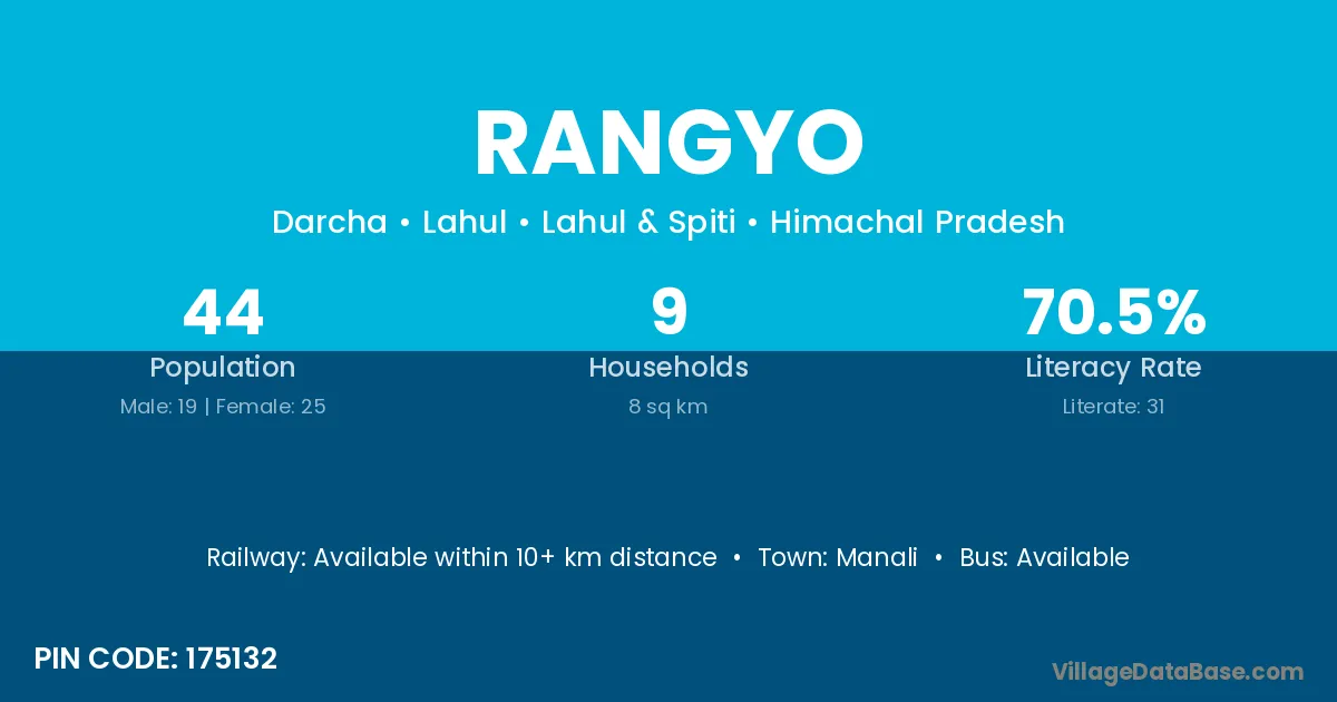
Rangyo village is located in the Lahul Tehsil of the Lahul & Spiti district in Himachal Pradesh .
Block / Tehsil → Lahul
District → Lahul & Spiti
State → Himachal Pradesh
According to Census 2011 information, the village code of Rangyo village is 175132.
Rangyo village has a total population of 44 people, of which 19 are males and 25 are females.
The literacy rate of Rangyo village is 70.45%. Male literacy stands at 68.42% and female literacy at 72.00%.
There are approximately 9 households in Rangyo village.
Manali is the nearest town to Rangyo village for major economic activities
The population of Rangyo village is distributed between literate and illiterate residents as follows:
| Particulars | Male | Female | Total |
|---|---|---|---|
| Literate | 13 | 18 | 31 |
| Illiterate | 6 | 7 | 13 |
| Total | 19 | 25 | 44 |
Source: Census 2011
| Village | District |
|---|---|
| Baryo | Lahul & Spiti |
| Baryo | Lalitpur |
| Chhika Be | Lahul & Spiti |
| Darcha Dangma | Lahul & Spiti |
| Darcha Sumdo | Lahul & Spiti |
| Gemur Gompa | Lahul & Spiti |
| Jispa | Lahul & Spiti |
| Lingkyam | Lahul & Spiti |
| Mangsing | Lahul & Spiti |
| Rarik | Lahul & Spiti |
| Tingal | Lahul & Spiti |
| Yoche | Lahul & Spiti |
No reviews yet. Be the first to review this village!
Available within 10+ km distance
Available within 5 - 10 km distance
Available within 10+ km distance