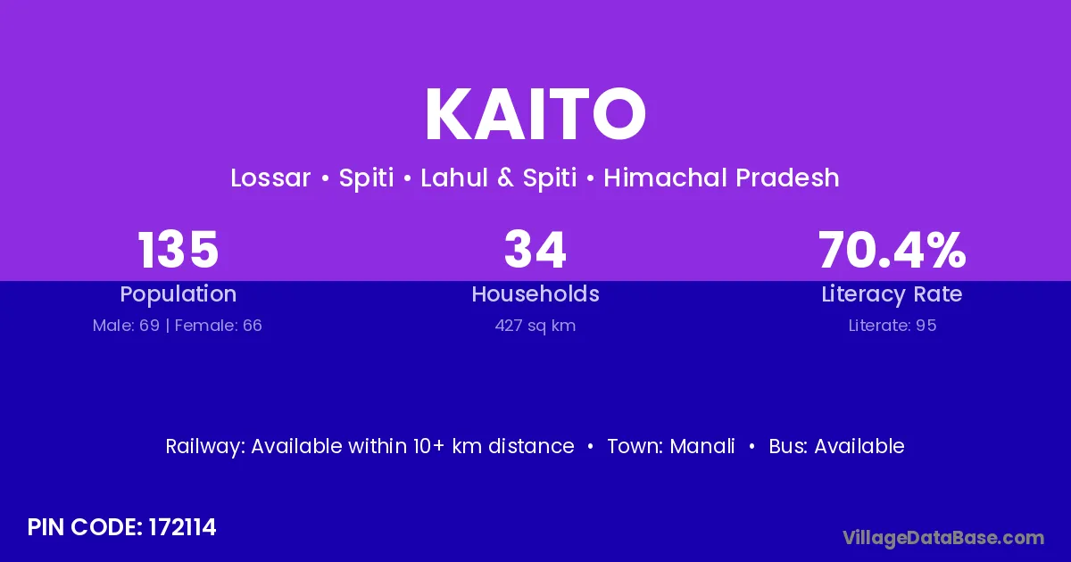
Kaito village is located in the Spiti Tehsil of the Lahul & Spiti district in Himachal Pradesh .
Block / Tehsil → Spiti
District → Lahul & Spiti
State → Himachal Pradesh
According to Census 2011 information, the village code of Kaito village is 172114.
Kaito village has a total population of 135 people, of which 69 are males and 66 are females.
The literacy rate of Kaito village is 70.37%. Male literacy stands at 73.91% and female literacy at 66.67%.
There are approximately 34 households in Kaito village.
Manali is the nearest town to Kaito village for major economic activities
The population of Kaito village is distributed between literate and illiterate residents as follows:
| Particulars | Male | Female | Total |
|---|---|---|---|
| Literate | 51 | 44 | 95 |
| Illiterate | 18 | 22 | 40 |
| Total | 69 | 66 | 135 |
Source: Census 2011
| Village | District |
|---|---|
| Dhar Ghiundi | Lahul & Spiti |
| Dhar Latothanmo | Lahul & Spiti |
| Dhar Paldar | Lahul & Spiti |
| Dhar Pang Kyamo | Lahul & Spiti |
| Dhar Pangmo | Lahul & Spiti |
| Dhar Soksa | Lahul & Spiti |
| Dhar Tamba Kurkur | Lahul & Spiti |
| Hansa | Araria |
| Hansa | Samastipur |
| Hansa | Lahul & Spiti |
| Hansa | Jammu |
| Hansa | Khunti |
| Hansa | Palamu |
| Hansa | Bareilly |
| Hansa | Basti |
| Hansa | Jalaun |
| Hull | Lahul & Spiti |
| Kyamo | Lahul & Spiti |
| Pangmo Khas | Lahul & Spiti |
No reviews yet. Be the first to review this village!
Available within 10+ km distance
Available within village
Available within 10+ km distance