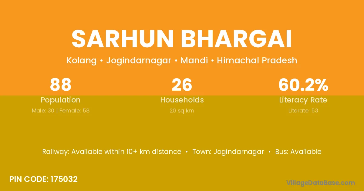
Sarhun Bhargai village is located in the Jogindarnagar Tehsil of the Mandi district in Himachal Pradesh .
Block / Tehsil → Jogindarnagar
District → Mandi
State → Himachal Pradesh
According to Census 2011 information, the village code of Sarhun Bhargai village is 175032.
Sarhun Bhargai village has a total population of 88 people, of which 30 are males and 58 are females.
The literacy rate of Sarhun Bhargai village is 60.23%. Male literacy stands at 53.33% and female literacy at 63.79%.
There are approximately 26 households in Sarhun Bhargai village.
Jogindarnagar is the nearest town to Sarhun Bhargai village for major economic activities
The population of Sarhun Bhargai village is distributed between literate and illiterate residents as follows:
| Particulars | Male | Female | Total |
|---|---|---|---|
| Literate | 16 | 37 | 53 |
| Illiterate | 14 | 21 | 35 |
| Total | 30 | 58 | 88 |
Source: Census 2011
| Village | District |
|---|---|
| Antola | Mandi |
| Bharayara Uparla | Mandi |
| Chauk | Mandi |
| Chauk | Mandi |
| Chauk | Mandi |
| Chauk | Mandi |
| Chauk | Solan |
| Chauk | Thane |
| Dagu | Upper Subansiri |
| Dagu | Mandi |
| Gonthla | Mandi |
| Gonthla | Shimla |
| Jalh | Mandi |
| Kufru Morchakka | Mandi |
| Marh | Fatehabad |
| Marh | Mandi |
| Marh | Jammu |
| Marh | Pithoragarh |
| Samaur | Mandi |
| Samaur | Mandi |
| Samaur | Ghazipur |
| Samohli | Mandi |
No reviews yet. Be the first to review this village!
Available within 10+ km distance
Available within <5 km distance
Available within 5 - 10 km distance