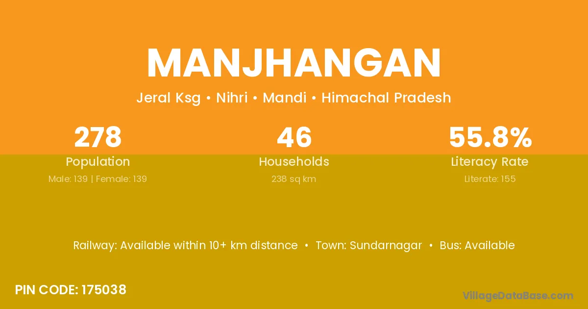
Manjhangan village is located in the Nihri Tehsil of the Mandi district in Himachal Pradesh .
Block / Tehsil → Nihri
District → Mandi
State → Himachal Pradesh
According to Census 2011 information, the village code of Manjhangan village is 175038.
Manjhangan village has a total population of 278 people, of which 139 are males and 139 are females.
The literacy rate of Manjhangan village is 55.76%. Male literacy stands at 66.19% and female literacy at 45.32%.
There are approximately 46 households in Manjhangan village.
Sundarnagar is the nearest town to Manjhangan village for major economic activities
The population of Manjhangan village is distributed between literate and illiterate residents as follows:
| Particulars | Male | Female | Total |
|---|---|---|---|
| Literate | 92 | 63 | 155 |
| Illiterate | 47 | 76 | 123 |
| Total | 139 | 139 | 278 |
Source: Census 2011
| Village | District |
|---|---|
| Bandli | Mandi |
| Bandli | Shimla |
| Bandli | Shimla |
| Bandli | Sirmaur |
| D P F Dhamkon | Mandi |
| D P F Gadahach | Mandi |
| D P F Kuftu | Mandi |
| D P F Rakol | Mandi |
| Dhamkon | Mandi |
| Kandhi | Junagadh |
| Kandhi | Mandi |
| Kandhi | Mandi |
| Kandhi | Mandi |
| Kandhi | Mandi |
| Kandhi | Mandi |
| Kandhi | Chandauli |
| Kandhi | Fatehpur |
| Kandhi | Kanpur Dehat |
| Kumaru | Mandi |
| Kyar Kandhi I | Mandi |
| Kyar Kandhi Ii | Mandi |
| Shaodhar | Mandi |
No reviews yet. Be the first to review this village!
Available within 10+ km distance
Available within 5 - 10 km distance
Available within 5 - 10 km distance