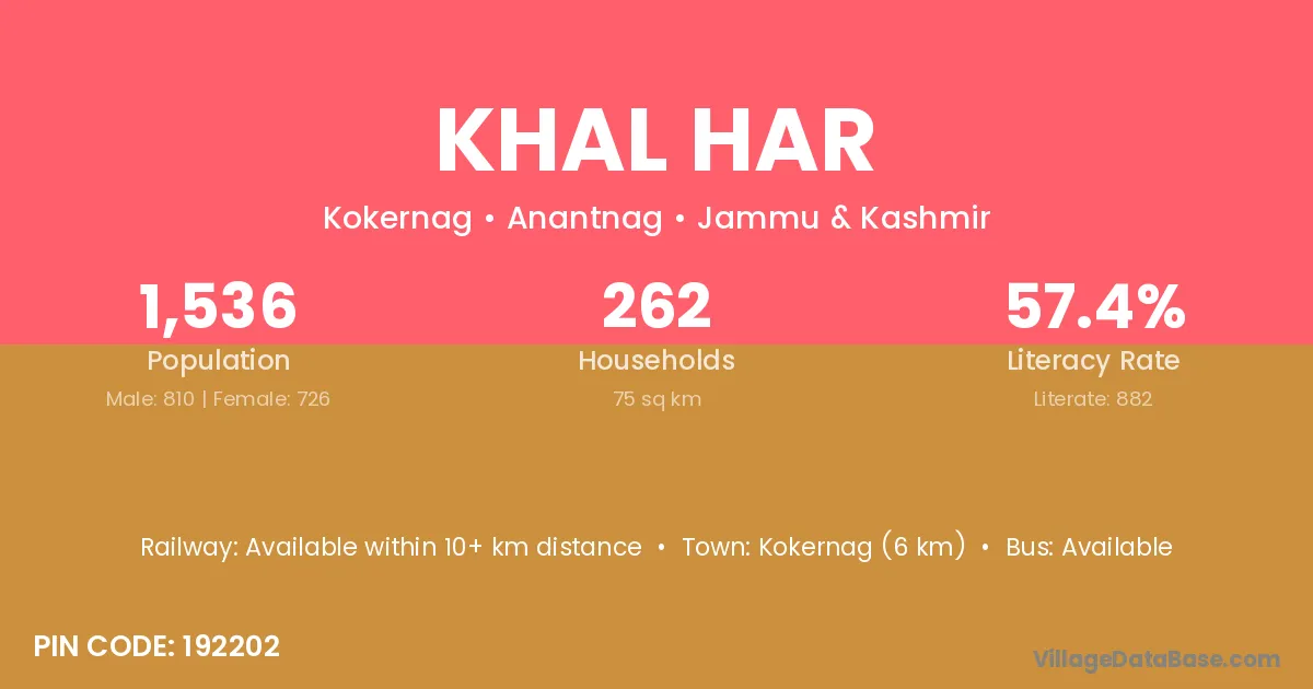
Khal Har village is located in the Kokernag Tehsil of the Anantnag district in Jammu & Kashmir .
Block / Tehsil → Kokernag
District → Anantnag
State → Jammu & Kashmir
According to Census 2011 information, the village code of Khal Har village is 192202.
Khal Har village has a total population of 1,536 people, of which 810 are males and 726 are females.
The literacy rate of Khal Har village is 57.42%. Male literacy stands at 64.94% and female literacy at 49.04%.
There are approximately 262 households in Khal Har village.
Kokernag (6 km) is the nearest town to Khal Har village for major economic activities and is located approximately 6 km away.
The population of Khal Har village is distributed between literate and illiterate residents as follows:
| Particulars | Male | Female | Total |
|---|---|---|---|
| Literate | 526 | 356 | 882 |
| Illiterate | 284 | 370 | 654 |
| Total | 810 | 726 | 1,536 |
Source: Census 2011
| Village | District |
|---|---|
| Akin Gam | Anantnag |
| Bahali | Anantnag |
| Bahali | Anugul |
| Bahali | Balangir |
| Bahali | Baudh |
| Bahali | Baudh |
| Bahali | Cuttack |
| Bahali | Nayagarh |
| Bahali | Alwar |
| Bahali | Sultanpur |
| Bahali | Paschim Medinipur |
| Bahali | Paschim Medinipur |
| Booch | Anantnag |
| Dan Veth Pora | Anantnag |
| Hard Pora | Anantnag |
| Hillar Arhama | Anantnag |
| Kandi Warin | Anantnag |
| Mohri Pora | Anantnag |
| Nagam | Surguja |
| Nagam | Anantnag |
| Nagam | Badgam |
| Nagam | Kulgam |
| Nagam | Ramban |
| Sagam | Anantnag |
| Umar Khar | Anantnag |
No reviews yet. Be the first to review this village!
Available within 10+ km distance
Available within village
Available within village