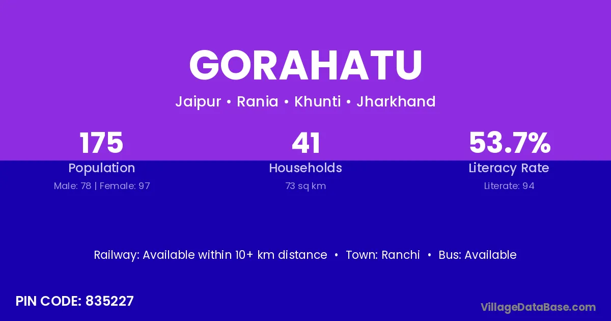
Gorahatu village is located in the Rania Subdivision of the Khunti district in Jharkhand .
Block / Subdivision → Rania
District → Khunti
State → Jharkhand
According to Census 2011 information, the village code of Gorahatu village is 835227.
Gorahatu village has a total population of 175 people, of which 78 are males and 97 are females.
The literacy rate of Gorahatu village is 53.71%. Male literacy stands at 66.67% and female literacy at 43.30%.
There are approximately 41 households in Gorahatu village.
Ranchi is the nearest town to Gorahatu village for major economic activities
The population of Gorahatu village is distributed between literate and illiterate residents as follows:
| Particulars | Male | Female | Total |
|---|---|---|---|
| Literate | 52 | 42 | 94 |
| Illiterate | 26 | 55 | 81 |
| Total | 78 | 97 | 175 |
Source: Census 2011
| Village | District |
|---|---|
| Banai | Raigarh |
| Banai | Gumla |
| Banai | Khunti |
| Banai | Palamu |
| Banai | Sikar |
| Banai | Banda |
| Banai | Sant Ravidas Nagar |
| Banai | Paschim Medinipur |
| Banai | Paschim Medinipur |
| Birhorchuan | Khunti |
| Chengre | Khunti |
| Itam | Gumla |
| Itam | Khunti |
| Itam | Imphal East |
| Japut | Chatra |
| Japut | Khunti |
| Jarakel | Khunti |
| Jarakel | Pashchimi Singhbhum |
| Jarakel | Pashchimi Singhbhum |
| Jarakel | Pashchimi Singhbhum |
| Jarakel | Simdega |
| Kelo | Khunti |
| Kelo | Sambalpur |
| Kelo | Sundargarh |
| Kelo | Sundargarh |
| Khudibir | Khunti |
| Korakel | Khunti |
| Korakel | Khunti |
| Orengtoli | Khunti |
| Sidam | Khunti |
No reviews yet. Be the first to review this village!
Available within 10+ km distance
Available within 5 - 10 km distance
Available within 5 - 10 km distance