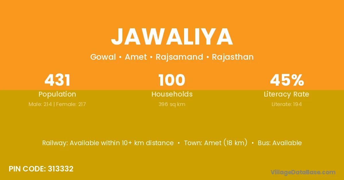
Jawaliya village is located in the Amet Tehsil of the Rajsamand district in Rajasthan .
Block / Tehsil → Amet
District → Rajsamand
State → Rajasthan
According to Census 2011 information, the village code of Jawaliya village is 313332.
Jawaliya village has a total population of 431 people, of which 214 are males and 217 are females.
The literacy rate of Jawaliya village is 45.01%. Male literacy stands at 58.41% and female literacy at 31.80%.
There are approximately 100 households in Jawaliya village.
Amet (18 km) is the nearest town to Jawaliya village for major economic activities and is located approximately 18 km away.
The population of Jawaliya village is distributed between literate and illiterate residents as follows:
| Particulars | Male | Female | Total |
|---|---|---|---|
| Literate | 125 | 69 | 194 |
| Illiterate | 89 | 148 | 237 |
| Total | 214 | 217 | 431 |
Source: Census 2011
| Village | District |
|---|---|
| Bhairoodas Ji Ka Khera | Rajsamand |
| Chaukri | Garhwa |
| Chaukri | Rajsamand |
| Chaukri | Sawai Madhopur |
| Chaukri | Sikar |
| Chaukri | Jhansi |
| Degana | Nagaur |
| Degana | Rajsamand |
| Deoron Ka Gurha | Rajsamand |
| Gowal | Dhemaji |
| Gowal | Samba |
| Gowal | Ratnagiri |
| Gowal | Rajsamand |
| Gowal | Rajsamand |
| Guniya | Gumla |
| Guniya | Rajsamand |
| Guniya | Garhwal |
| Jarsa | Rajsamand |
| Nanana | Chittaurgarh |
| Nanana | Nagaur |
| Nanana | Pali |
| Nanana | Pratapgarh |
| Nanana | Rajsamand |
| Nawalsingh Ka Khera | Rajsamand |
| Shobhag Pura | Rajsamand |
No reviews yet. Be the first to review this village!
Available within 10+ km distance
Available within 5 - 10 km distance
Available within <5 km distance