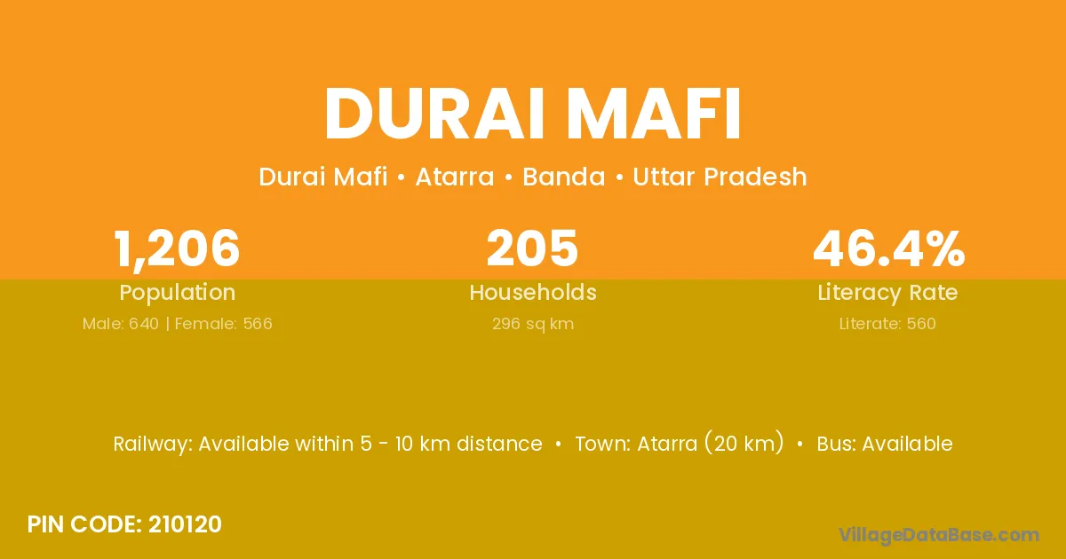
Durai Mafi village is located in the Atarra Tehsil of the Banda district in Uttar Pradesh .
Block / Tehsil → Atarra
District → Banda
State → Uttar Pradesh
According to Census 2011 information, the village code of Durai Mafi village is 210120.
Durai Mafi village has a total population of 1,206 people, of which 640 are males and 566 are females.
The literacy rate of Durai Mafi village is 46.43%. Male literacy stands at 62.50% and female literacy at 28.27%.
There are approximately 205 households in Durai Mafi village.
Atarra (20 km) is the nearest town to Durai Mafi village for major economic activities and is located approximately 20 km away.
The population of Durai Mafi village is distributed between literate and illiterate residents as follows:
| Particulars | Male | Female | Total |
|---|---|---|---|
| Literate | 400 | 160 | 560 |
| Illiterate | 240 | 406 | 646 |
| Total | 640 | 566 | 1,206 |
Source: Census 2011
| Village | District |
|---|---|
| Ajit Para | Banda |
| Barsanda Buzurg | Banda |
| Barsanda Khurd | Banda |
| Bigahna | Banda |
| Bil Gaon | Golaghat |
| Bil Gaon | Tinsukia |
| Bil Gaon | Banda |
| Jakhni | Mahendragarh |
| Jakhni | Banda |
| Jakhni | Chamoli |
| Jakhni | Garhwal |
| Jakhni | Tehri Garhwal |
| Jamrehi | Banda |
| Jamrehi | Jalaun |
| Khurhand | Banda |
| Mahuwa | Supaul |
| Mahuwa | Solan |
| Mahuwa | Mandsaur |
| Mahuwa | Rajgarh |
| Mahuwa | Shivpuri |
| Mahuwa | Bhilwara |
| Mahuwa | Bundi |
| Mahuwa | Tonk |
| Mahuwa | Tonk |
| Mahuwa | Azamgarh |
| Mahuwa | Balrampur |
| Mahuwa | Banda |
| Mahuwa | Kheri |
| Mahuwa | Mahrajganj |
| Mahuwa | Siddharthnagar |
| Mahuwa | Siddharthnagar |
| Nai | Nalanda |
| Nai | Mewat |
| Nai | Shimla |
| Nai | Doda |
| Nai | Udaipur |
| Nai | Banda |
| Nai | Budaun |
| Nai | Garhwal |
| Nai | Garhwal |
| Nai | Nainital |
| Takuli | Banda |
No reviews yet. Be the first to review this village!
Available within 5 - 10 km distance
Available within 5 - 10 km distance
Available within 5 - 10 km distance