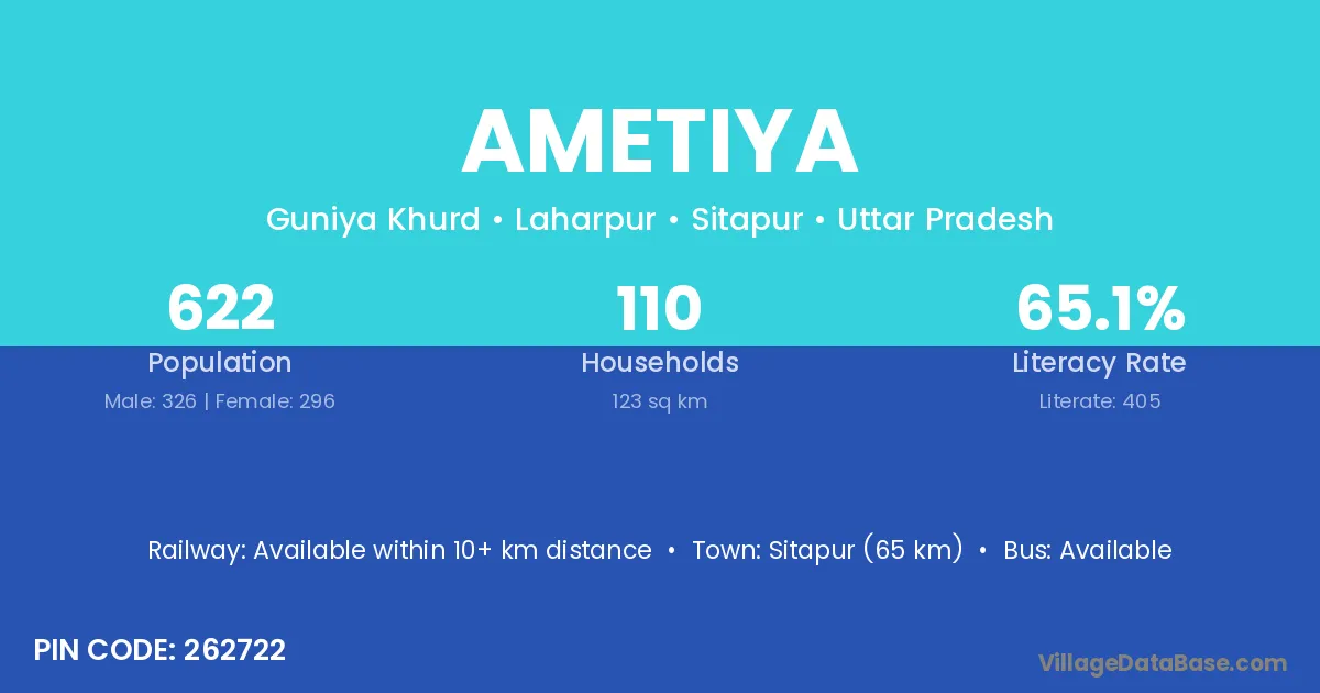
Ametiya village is located in the Laharpur Tehsil of the Sitapur district in Uttar Pradesh .
Block / Tehsil → Laharpur
District → Sitapur
State → Uttar Pradesh
According to Census 2011 information, the village code of Ametiya village is 262722.
Ametiya village has a total population of 622 people, of which 326 are males and 296 are females.
The literacy rate of Ametiya village is 65.11%. Male literacy stands at 75.46% and female literacy at 53.72%.
There are approximately 110 households in Ametiya village.
Sitapur (65 km) is the nearest town to Ametiya village for major economic activities and is located approximately 65 km away.
The population of Ametiya village is distributed between literate and illiterate residents as follows:
| Particulars | Male | Female | Total |
|---|---|---|---|
| Literate | 246 | 159 | 405 |
| Illiterate | 80 | 137 | 217 |
| Total | 326 | 296 | 622 |
Source: Census 2011
| Village | District |
|---|---|
| Bamhaula | Sitapur |
| Bareti | Hamirpur |
| Bareti | Kangra |
| Bareti | Sitapur |
| Belwa Gauhaniya | Sitapur |
| Gaur Chaukhdia | Sitapur |
| Guniya Khurd | Sitapur |
| Harkhee Behar | Sitapur |
| Mitmau | Sitapur |
| Nakaha | Gonda |
| Nakaha | Kheri |
| Nakaha | Sant Kabir Nagar |
| Nakaha | Sant Kabir Nagar |
| Nakaha | Sitapur |
| Nakaha | Udham Singh Nagar |
| Phulpur Guniya | Sitapur |
| Samaudi Dih | Sitapur |
| Setuhee | Sitapur |
No reviews yet. Be the first to review this village!
Available within 10+ km distance
Available within 5 - 10 km distance
Available within 5 - 10 km distance