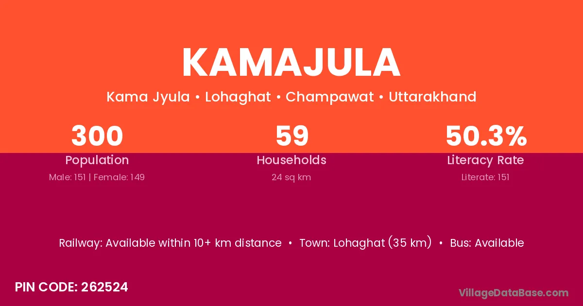
Kamajula village is located in the Lohaghat Tehsil of the Champawat district in Uttarakhand .
Block / Tehsil → Lohaghat
District → Champawat
State → Uttarakhand
According to Census 2011 information, the village code of Kamajula village is 262524.
Kamajula village has a total population of 300 people, of which 151 are males and 149 are females.
The literacy rate of Kamajula village is 50.33%. Male literacy stands at 60.93% and female literacy at 39.60%.
There are approximately 59 households in Kamajula village.
Lohaghat (35 km) is the nearest town to Kamajula village for major economic activities and is located approximately 35 km away.
The population of Kamajula village is distributed between literate and illiterate residents as follows:
| Particulars | Male | Female | Total |
|---|---|---|---|
| Literate | 92 | 59 | 151 |
| Illiterate | 59 | 90 | 149 |
| Total | 151 | 149 | 300 |
Source: Census 2011
| Village | District |
|---|---|
| Baila | Mandi |
| Baila | Mandi |
| Baila | Shimla |
| Baila | Solan |
| Baila | Punch |
| Baila | Champawat |
| Baira Badwal | Champawat |
| Bairaorn | Champawat |
| Bakarya Julla | Champawat |
| Bamaira | Champawat |
| Buraula | Champawat |
| Choolgaon | Champawat |
| Luwakot | Champawat |
| Raighari | Champawat |
| Ravalgaon | Ahmadnagar |
| Ravalgaon | Nashik |
| Ravalgaon | Parbhani |
| Ravalgaon | Champawat |
| Sugar Khal | Champawat |
No reviews yet. Be the first to review this village!
Available within 10+ km distance
Available within 10+ km distance
Available within 10+ km distance