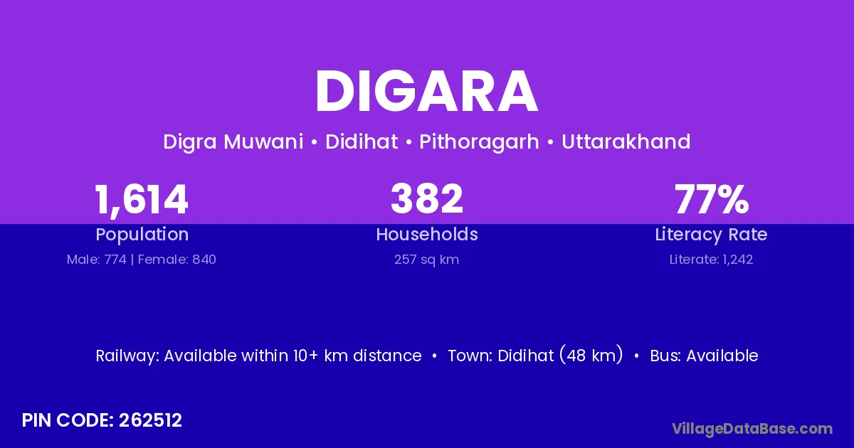
Digara village is located in the Didihat Tehsil of the Pithoragarh district in Uttarakhand .
Block / Tehsil → Didihat
District → Pithoragarh
State → Uttarakhand
According to Census 2011 information, the village code of Digara village is 262512.
Digara village has a total population of 1,614 people, of which 774 are males and 840 are females.
The literacy rate of Digara village is 76.95%. Male literacy stands at 83.72% and female literacy at 70.71%.
There are approximately 382 households in Digara village.
Didihat (48 km) is the nearest town to Digara village for major economic activities and is located approximately 48 km away.
The population of Digara village is distributed between literate and illiterate residents as follows:
| Particulars | Male | Female | Total |
|---|---|---|---|
| Literate | 648 | 594 | 1,242 |
| Illiterate | 126 | 246 | 372 |
| Total | 774 | 840 | 1,614 |
Source: Census 2011
| Village | District |
|---|---|
| Bandar Lima | Pithoragarh |
| Bhandari Gaon Rajwar | Pithoragarh |
| Chamu | Ukhrul |
| Chamu | Jodhpur |
| Chamu | Allahabad |
| Chamu | Pithoragarh |
| Dhurauli | Pithoragarh |
| Harkhola | Pithoragarh |
| Kamtolipurwa | Pithoragarh |
| Mugrauli | Pithoragarh |
| Sapya | Pithoragarh |
| Sil Kakarmanya | Pithoragarh |
| Surauli | Samastipur |
| Surauli | Banda |
| Surauli | Chandauli |
| Surauli | Deoria |
| Surauli | Kanpur Nagar |
| Surauli | Pithoragarh |
| Toli Chufal | Pithoragarh |
No reviews yet. Be the first to review this village!
Available within 10+ km distance
Available within <5 km distance
Available within <5 km distance