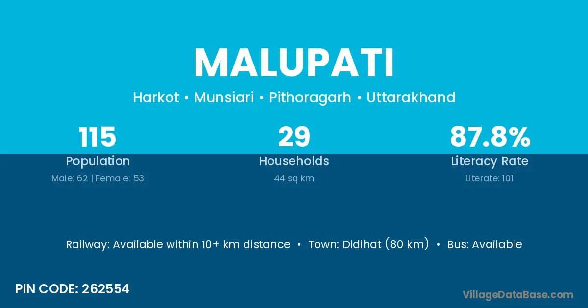
Malupati village is located in the Munsiari Tehsil of the Pithoragarh district in Uttarakhand .
Block / Tehsil → Munsiari
District → Pithoragarh
State → Uttarakhand
According to Census 2011 information, the village code of Malupati village is 262554.
Malupati village has a total population of 115 people, of which 62 are males and 53 are females.
The literacy rate of Malupati village is 87.83%. Male literacy stands at 91.94% and female literacy at 83.02%.
There are approximately 29 households in Malupati village.
Didihat (80 km) is the nearest town to Malupati village for major economic activities and is located approximately 80 km away.
The population of Malupati village is distributed between literate and illiterate residents as follows:
| Particulars | Male | Female | Total |
|---|---|---|---|
| Literate | 57 | 44 | 101 |
| Illiterate | 5 | 9 | 14 |
| Total | 62 | 53 | 115 |
Source: Census 2011
| Village | District |
|---|---|
| Bhadeli | Sheikhpura |
| Bhadeli | Pithoragarh |
| Chauna | Gautam Buddha Nagar |
| Chauna | Pithoragarh |
| Chauna | Pithoragarh |
| Ghatdhar | Pithoragarh |
| Harkot | Bageshwar |
| Harkot | Pithoragarh |
| Kholi | Kangra |
| Kholi | Kangra |
| Kholi | Kangra |
| Kholi | Kangra |
| Kholi | Kangra |
| Kholi | Una |
| Kholi | Anuppur |
| Kholi | Gondiya |
| Kholi | Garhwal |
| Kholi | Pithoragarh |
| Kholi | Pithoragarh |
| Mana Chulankar | Pithoragarh |
| Matena | Vidisha |
| Matena | Bageshwar |
| Matena | Pithoragarh |
| Matyali | Pithoragarh |
| Morpatta | Pithoragarh |
| Papri | Mewat |
| Papri | Palwal |
| Papri | Sahibzada Ajit Singh Nagar |
| Papri | Bundi |
| Papri | Jaipur |
| Papri | Saharanpur |
| Papri | Nainital |
| Papri | Pithoragarh |
| Ritha | Nanded |
| Ritha | Nanded |
| Ritha | Pithoragarh |
No reviews yet. Be the first to review this village!
Available within 10+ km distance
Available within 5 - 10 km distance
Available within 5 - 10 km distance