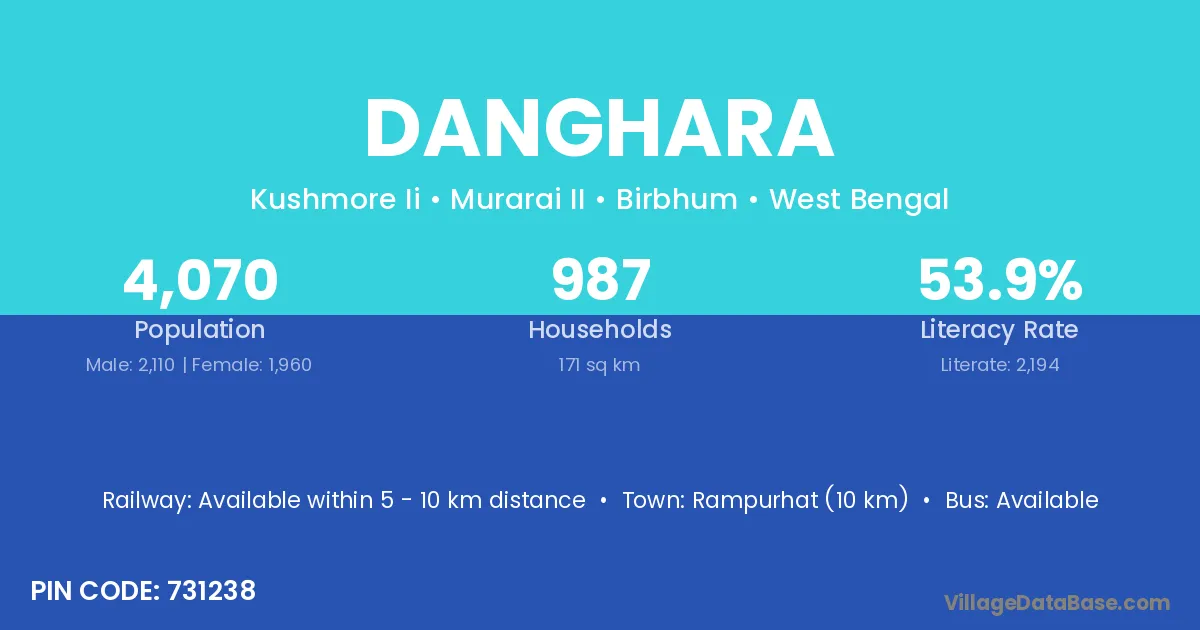
Danghara village is located in the Murarai II Subdivision of the Birbhum district in West Bengal .
Block / Subdivision → Murarai II
District → Birbhum
State → West Bengal
According to Census 2011 information, the village code of Danghara village is 731238.
Danghara village has a total population of 4,070 people, of which 2,110 are males and 1,960 are females.
The literacy rate of Danghara village is 53.91%. Male literacy stands at 55.17% and female literacy at 52.55%.
There are approximately 987 households in Danghara village.
Rampurhat (10 km) is the nearest town to Danghara village for major economic activities and is located approximately 10 km away.
The population of Danghara village is distributed between literate and illiterate residents as follows:
| Particulars | Male | Female | Total |
|---|---|---|---|
| Literate | 1,164 | 1,030 | 2,194 |
| Illiterate | 946 | 930 | 1,876 |
| Total | 2,110 | 1,960 | 4,070 |
Source: Census 2011
| Village | District |
|---|---|
| Amudda | Birbhum |
| Bhadishta | Birbhum |
| Birori | Etawah |
| Birori | Birbhum |
| Birori | Birbhum |
| Chauti | Birbhum |
| Chhatina | Bankura |
| Chhatina | Birbhum |
| Chhatina | Nadia |
| Chhatina | Paschim Medinipur |
| Chhatina | Nadia |
| Chhatina | Paschim Medinipur |
| Goalkunda | Birbhum |
| Jogai | Birbhum |
| Karamji | Birbhum |
| Kushmor | Birbhum |
| Math Basori | Birbhum |
| Narachauti | Birbhum |
No reviews yet. Be the first to review this village!
Available within 5 - 10 km distance
Available within village
Available within village