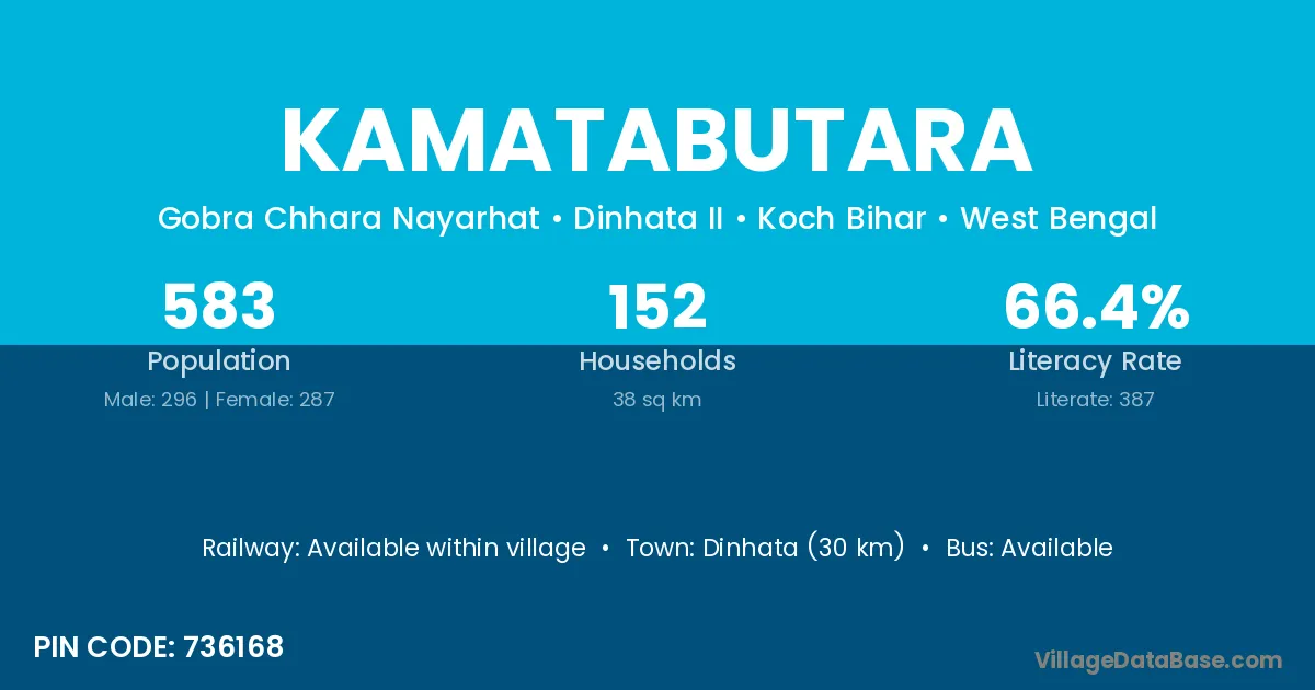
Kamatabutara village is located in the Dinhata II Subdivision of the Koch Bihar district in West Bengal .
Block / Subdivision → Dinhata II
District → Koch Bihar
State → West Bengal
According to Census 2011 information, the village code of Kamatabutara village is 736168.
Kamatabutara village has a total population of 583 people, of which 296 are males and 287 are females.
The literacy rate of Kamatabutara village is 66.38%. Male literacy stands at 71.96% and female literacy at 60.63%.
There are approximately 152 households in Kamatabutara village.
Dinhata (30 km) is the nearest town to Kamatabutara village for major economic activities and is located approximately 30 km away.
The population of Kamatabutara village is distributed between literate and illiterate residents as follows:
| Particulars | Male | Female | Total |
|---|---|---|---|
| Literate | 213 | 174 | 387 |
| Illiterate | 83 | 113 | 196 |
| Total | 296 | 287 | 583 |
Source: Census 2011
| Village | District |
|---|---|
| Bakshikhamar | Koch Bihar |
| Baniadaha | Koch Bihar |
| Bara Shakdal | Koch Bihar |
| Chhat Gopalganj | Koch Bihar |
| Dakurhat | Koch Bihar |
| Hokadaha Pratham Khanda | Koch Bihar |
| Joygopalganj | Koch Bihar |
| Karala | North West Delhi |
| Karala | Surat |
| Karala | Amravati |
| Karala | Nanded |
| Karala | Sahibzada Ajit Singh Nagar |
| Karala | Koch Bihar |
| Nandina | Koch Bihar |
| Piknidhara | Koch Bihar |
| Tiadaha | Dhanbad |
| Tiadaha | Koch Bihar |
No reviews yet. Be the first to review this village!
Available within village
Available within 10+ km distance
Available within 5 - 10 km distance