Welcome Back

Forgot password?
Don't have an account?
🏘️ Menu
Puruliya District 0.0 / 5 (0)

Uhupiri Village Detailed Information

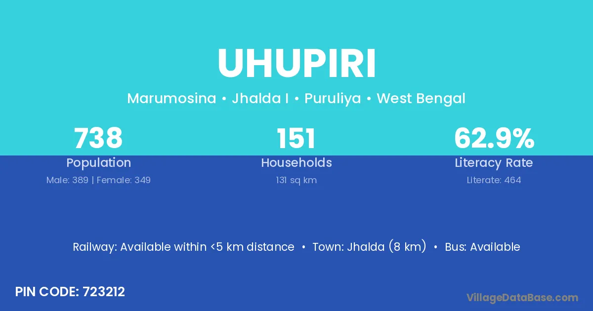
Uhupiri village is located in the Jhalda I Subdivision of the Puruliya district in West Bengal .

About Uhupiri Village

Block / Subdivision → Jhalda I

District → Puruliya

State → West Bengal

According to Census 2011 information, the village code of Uhupiri village is 723212.

Uhupiri village has a total population of 738 people, of which 389 are males and 349 are females.

The literacy rate of Uhupiri village is 62.87%. Male literacy stands at 75.58% and female literacy at 48.71%.

There are approximately 151 households in Uhupiri village.

Jhalda (8 km) is the nearest town to Uhupiri village for major economic activities and is located approximately 8 km away.

Population of Uhupiri Village

The population of Uhupiri village is distributed between literate and illiterate residents as follows:

Population distribution of Uhupiri village by literacy and gender
Particulars Male Female Total
Literate 294 170 464
Illiterate 95 179 274
Total 389 349 738

Source: Census 2011

Nearby Villages

List of nearby villages around Uhupiri village
Village District
Ankura Kendujhar
Ankura Puruliya
Ankura Puruliya
Bandi Alias Jagannathdi Puruliya
Bansa Durg
Bansa Surguja
Bansa Karnal
Bansa Bokaro
Bansa Saraikela Kharsawan
Bansa Rewa
Bansa Sagar
Bansa Shahdol
Bansa Umaria
Bansa Umaria
Bansa Jagatsinghapur
Bansa Chittaurgarh
Bansa Nagaur
Bansa Rajsamand
Bansa Bara Banki
Bansa Hardoi
Bansa Barddhaman
Bansa Puruliya
Bansa Puruliya
Bansa Puruliya
Bansa Puruliya
Buribir Puruliya
Buribir Puruliya
Chamardag Puruliya
Chamardag Puruliya
Chaupad Puruliya
Chaupad Puruliya
Kerawari Puruliya
Kerawari Puruliya
Khatjuri Puruliya
Khatjuri Puruliya
Magha Bokaro
Magha Bargarh
Magha Udaipur
Magha Allahabad
Magha Puruliya
Magha Puruliya
Paparu Puruliya
Paparu Puruliya
Tulin Saraikela Kharsawan
Tulin Puruliya
Tulin Puruliya

Frequently Asked Questions

Uhupiri village is located in the Jhalda I Subdivision of the Puruliya district in West Bengal.
The total population is 738 people.
389 males and 349 females.
The literacy rate is 62.87%.
Male literacy rate is 75.58%, and female literacy rate is 48.71%.
There are approximately 151 houses in Uhupiri village.
Jhalda (8 km) is the nearest town, located approximately 8 km away.

Reviews and Ratings

0.0 / 5 (0 reviews)

Reviews

No reviews yet. Be the first to review this village!

Uhupiri Village Statistics

Population
738
Area
131 km²
Households
151
Nearest Town :
Jhalda (8 km)

Quick Information

State / UT : West Bengal
Pincode : 723212
Total Area : 131 km²
Population : 738
Households : 151
Gram Panchayat : Marumosina
Nearest Town : Jhalda (8 km)

Connectivity of Uhupiri

🚂 Railway Station

Available within <5 km distance

🚌 Public Bus Service

Available within 5 - 10 km distance

🚌 Private Bus Service

Available within village

Need Help?

Contact local tourism office for assistance