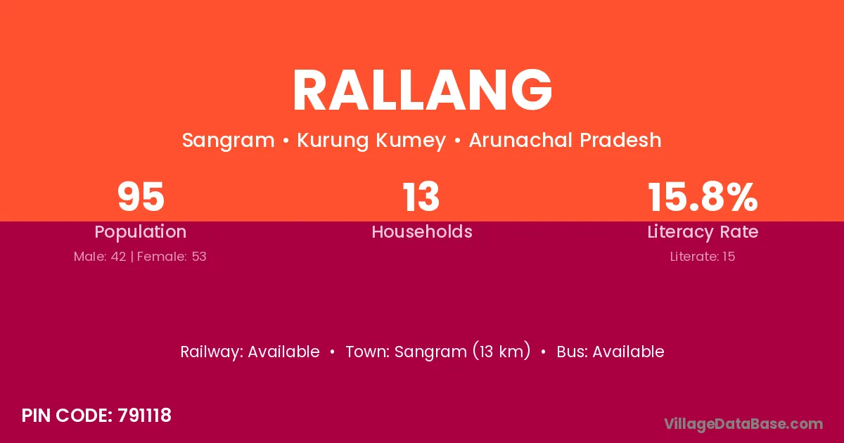
Rallang village is located in the Sangram Circle of the Kurung Kumey district in Arunachal Pradesh .
Block / Circle → Sangram
District → Kurung Kumey
State → Arunachal Pradesh
According to Census 2011 information, the village code of Rallang village is 791118.
Rallang village has a total population of 95 people, of which 42 are males and 53 are females.
The literacy rate of Rallang village is 15.79%. Male literacy stands at 14.29% and female literacy at 16.98%.
There are approximately 13 households in Rallang village.
Sangram (13 km) is the nearest town to Rallang village for major economic activities and is located approximately 13 km away.
The population of Rallang village is distributed between literate and illiterate residents as follows:
| Particulars | Male | Female | Total |
|---|---|---|---|
| Literate | 6 | 9 | 15 |
| Illiterate | 36 | 44 | 80 |
| Total | 42 | 53 | 95 |
Source: Census 2011
| Village | District |
|---|---|
| Chingliang | Kurung Kumey |
| Kambang | Kurung Kumey |
| Kamha Hapa | Kurung Kumey |
| Kerium Hapa | Kurung Kumey |
| Niangpo | Kurung Kumey |
| Peel | Kurung Kumey |
| Pitak | Kurung Kumey |
| Pitak | Kurung Kumey |
| Pitak | Kurung Kumey |
| Pitak | Upper Subansiri |
| Pitak | Upper Subansiri |
| Pung Rung | Kurung Kumey |
| Tajilangpo | Kurung Kumey |
| Tumrung | Kurung Kumey |
| Tumrung | Pashchimi Singhbhum |
| Ziro Point | Kurung Kumey |
No reviews yet. Be the first to review this village!
Available
Available
Available