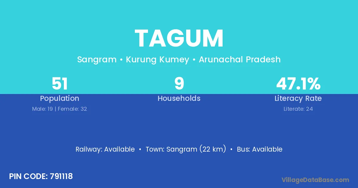
Tagum village is located in the Sangram Circle of the Kurung Kumey district in Arunachal Pradesh .
Block / Circle → Sangram
District → Kurung Kumey
State → Arunachal Pradesh
According to Census 2011 information, the village code of Tagum village is 791118.
Tagum village has a total population of 51 people, of which 19 are males and 32 are females.
The literacy rate of Tagum village is 47.06%. Male literacy stands at 57.89% and female literacy at 40.63%.
There are approximately 9 households in Tagum village.
Sangram (22 km) is the nearest town to Tagum village for major economic activities and is located approximately 22 km away.
The population of Tagum village is distributed between literate and illiterate residents as follows:
| Particulars | Male | Female | Total |
|---|---|---|---|
| Literate | 11 | 13 | 24 |
| Illiterate | 8 | 19 | 27 |
| Total | 19 | 32 | 51 |
Source: Census 2011
| Village | District |
|---|---|
| 6 Mile Camp | Kurung Kumey |
| Delung | Kurung Kumey |
| Hagang | Kurung Kumey |
| Kambang | Kurung Kumey |
| Niayahutung | Kurung Kumey |
| Pagba | Kurung Kumey |
| Peel | Kurung Kumey |
| Pirsepa | Kurung Kumey |
| Pitak | Kurung Kumey |
| Pitak | Kurung Kumey |
| Pitak | Kurung Kumey |
| Pitak | Upper Subansiri |
| Pitak | Upper Subansiri |
| Tumlang | Kurung Kumey |
| Yarte | Kurung Kumey |
No reviews yet. Be the first to review this village!
Available
Available
Available