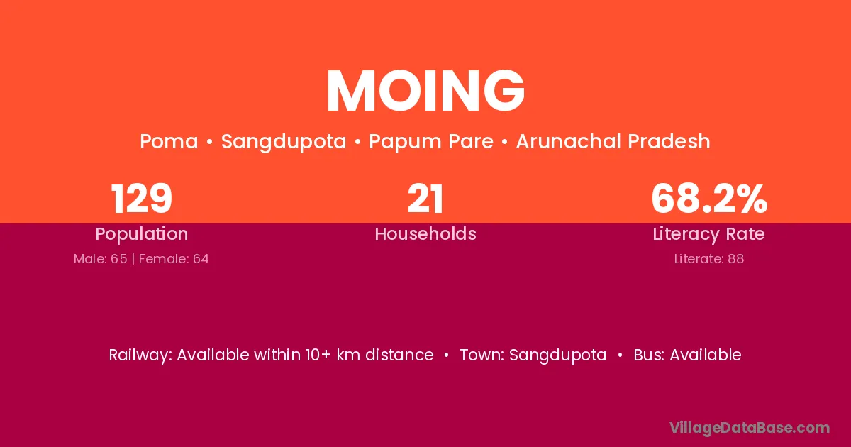
Moing village is located in the Sangdupota Circle of the Papum Pare district in Arunachal Pradesh .
Block / Circle → Sangdupota
District → Papum Pare
State → Arunachal Pradesh
Moing village has a total population of 129 people, of which 65 are males and 64 are females.
The literacy rate of Moing village is 68.22%. Male literacy stands at 70.77% and female literacy at 65.63%.
There are approximately 21 households in Moing village.
Sangdupota is the nearest town to Moing village for major economic activities
The population of Moing village is distributed between literate and illiterate residents as follows:
| Particulars | Male | Female | Total |
|---|---|---|---|
| Literate | 46 | 42 | 88 |
| Illiterate | 19 | 22 | 41 |
| Total | 65 | 64 | 129 |
Source: Census 2011
| Village | District |
|---|---|
| Basar Nalo | Papum Pare |
| Basar Nalo Camp | Papum Pare |
| Depra | Papum Pare |
| Gunggung | Papum Pare |
| Khamir | Papum Pare |
| Khamir Ii | Papum Pare |
| Poma | Papum Pare |
| Poma Rwd Staff Colony | Papum Pare |
| Potha | Papum Pare |
| Potha | Punch |
| Potha | Rajouri |
| Potha | Rajouri |
| Potha | Aligarh |
| Rilo Pwd Colony | Papum Pare |
| Rupung | Papum Pare |
| Rupung | Papum Pare |
No reviews yet. Be the first to review this village!
Available within 10+ km distance
Available within village
Available within 10+ km distance