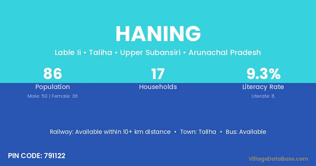
Haning village is located in the Taliha Circle of the Upper Subansiri district in Arunachal Pradesh .
Block / Circle → Taliha
District → Upper Subansiri
State → Arunachal Pradesh
According to Census 2011 information, the village code of Haning village is 791122.
Haning village has a total population of 86 people, of which 50 are males and 36 are females.
The literacy rate of Haning village is 9.30%. Male literacy stands at 12.00% and female literacy at 5.56%.
There are approximately 17 households in Haning village.
Taliha is the nearest town to Haning village for major economic activities
The population of Haning village is distributed between literate and illiterate residents as follows:
| Particulars | Male | Female | Total |
|---|---|---|---|
| Literate | 6 | 2 | 8 |
| Illiterate | 44 | 34 | 78 |
| Total | 50 | 36 | 86 |
Source: Census 2011
| Village | District |
|---|---|
| Badampuring | Upper Subansiri |
| Bomdom | Upper Subansiri |
| Jami | Vizianagaram |
| Jami | Upper Subansiri |
| Jami | Balaghat |
| Jami | Rajgarh |
| Jami | Gajapati |
| Kaji | Upper Subansiri |
| Kaji | Jhunjhunun |
| Kamlo | Upper Subansiri |
| Kamlo | Satna |
| Lingri | Upper Subansiri |
| Lingri | Katni |
| Nimpu | Upper Subansiri |
| Paktung | Upper Subansiri |
| Pillingmaling | Upper Subansiri |
| Tarba | Kurung Kumey |
| Tarba | Upper Subansiri |
| Tarba | Hazaribagh |
| Yangampu | Upper Subansiri |
No reviews yet. Be the first to review this village!
Available within 10+ km distance
Available within 10+ km distance
Available within 10+ km distance