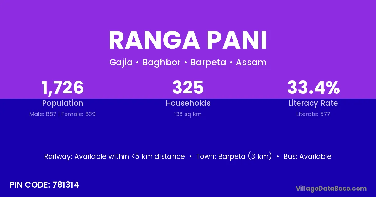
Ranga Pani village is located in the Baghbor Subdivision of the Barpeta district in Assam .
Block / Subdivision → Baghbor
District → Barpeta
State → Assam
According to Census 2011 information, the village code of Ranga Pani village is 781314.
Ranga Pani village has a total population of 1,726 people, of which 887 are males and 839 are females.
The literacy rate of Ranga Pani village is 33.43%. Male literacy stands at 38.33% and female literacy at 28.25%.
There are approximately 325 households in Ranga Pani village.
Barpeta (3 km) is the nearest town to Ranga Pani village for major economic activities and is located approximately 3 km away.
The population of Ranga Pani village is distributed between literate and illiterate residents as follows:
| Particulars | Male | Female | Total |
|---|---|---|---|
| Literate | 340 | 237 | 577 |
| Illiterate | 547 | 602 | 1,149 |
| Total | 887 | 839 | 1,726 |
Source: Census 2011
| Village | District |
|---|---|
| Barpalli | Barpeta |
| Bhatkuchi | Barpeta |
| Bhatkuchi | Kamrup |
| Bhera | Barpeta |
| Bhera | Barpeta |
| Bhera | Bhiwani |
| Bhera | Una |
| Bhera | Punch |
| Bhera | Washim |
| Bhera | Nuapada |
| Bhera | Hoshiarpur |
| Bhera | Hoshiarpur |
| Bhera | Paschim Medinipur |
| Bhera | Paschim Medinipur |
| Bhograndha | Barpeta |
| Gajia | Barpeta |
| Karertal | Barpeta |
| Kopoha | Barpeta |
| Medhirtari | Barpeta |
| Pathlikuchi | Barpeta |
| Pathlikuchi Pathar | Barpeta |
| Tetelirtol | Barpeta |
No reviews yet. Be the first to review this village!
Available within <5 km distance
Available within <5 km distance
Available within village