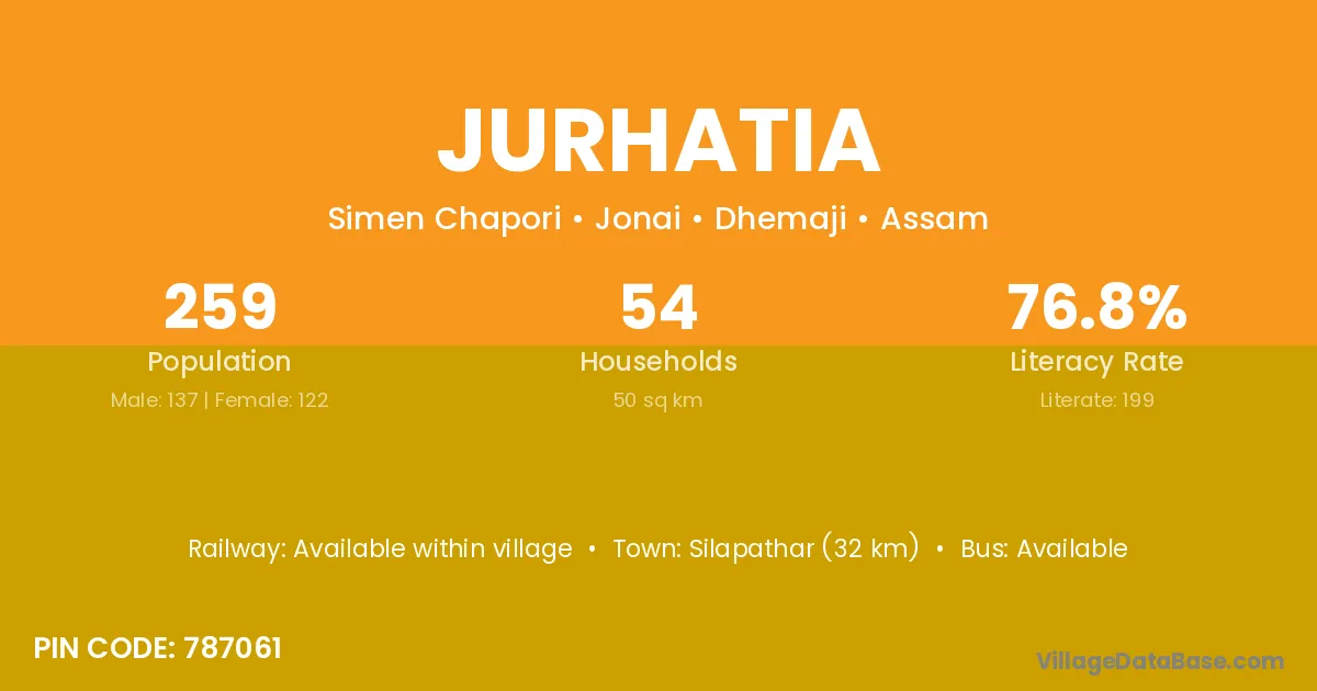
Jurhatia village is located in the Jonai Subdivision of the Dhemaji district in Assam .
Block / Subdivision → Jonai
District → Dhemaji
State → Assam
According to Census 2011 information, the village code of Jurhatia village is 787061.
Jurhatia village has a total population of 259 people, of which 137 are males and 122 are females.
The literacy rate of Jurhatia village is 76.83%. Male literacy stands at 78.10% and female literacy at 75.41%.
There are approximately 54 households in Jurhatia village.
Silapathar (32 km) is the nearest town to Jurhatia village for major economic activities and is located approximately 32 km away.
The population of Jurhatia village is distributed between literate and illiterate residents as follows:
| Particulars | Male | Female | Total |
|---|---|---|---|
| Literate | 107 | 92 | 199 |
| Illiterate | 30 | 30 | 60 |
| Total | 137 | 122 | 259 |
Source: Census 2011
| Village | District |
|---|---|
| Amlakhi Pait | Dhemaji |
| Bag Gaon | Dhemaji |
| Balai Mara | Dhemaji |
| Baruah Bali | Dhemaji |
| Burimuri | Dhemaji |
| Dadhara | Dhemaji |
| Dadhara | Nayagarh |
| Dheka Mising | Dhemaji |
| Maj Gaon | Barpeta |
| Maj Gaon | Dhemaji |
| Maj Gaon | Kamrup |
| Maj Gaon | Karbi Anglong |
| Maj Gaon | Karbi Anglong |
| Maj Gaon | Tinsukia |
| Maj Gaon | Garhwal |
| Maj Gaon | Garhwal |
| Namkir Pathar No 1 | Dhemaji |
| Udai Pur | Dhemaji |
| Udai Pur | Siddharthnagar |
| Zaglung Mising | Dhemaji |
No reviews yet. Be the first to review this village!
Available within village
Available within village
Available within <5 km distance