Jamtala village is located in the Rangia Subdivision of the Kamrup district in Assam .
Block / Subdivision → Rangia
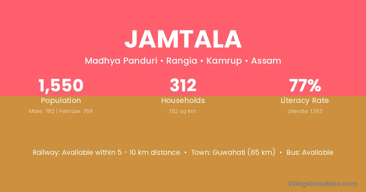
District → Kamrup
State → Assam
Jamtala village has a total population of 1,550 people, of which 782 are males and 768 are females.
The literacy rate of Jamtala village is 76.97%. Male literacy stands at 81.59% and female literacy at 72.27%.
There are approximately 312 households in Jamtala village.
Guwahati (65 km) is the nearest town to Jamtala village for major economic activities and is located approximately 65 km away.
The population of Jamtala village is distributed between literate and illiterate residents as follows:
| Particulars | Male | Female | Total |
|---|---|---|---|
| Literate | 638 | 555 | 1,193 |
| Illiterate | 144 | 213 | 357 |
| Total | 782 | 768 | 1,550 |
Source: Census 2011
| Village | District |
|---|---|
| Bala Gaon | Barpeta |
| Bala Gaon | Kamrup |
| Batakuchi | Kamrup |
| Batakuchi | Kamrup |
| Batakuchi | Kamrup |
| Batakuchi | Kamrup Metropolitan |
| Batakuchi | Udalguri |
| Bichennala | Kamrup |
| Doloi Gaon | Barpeta |
| Doloi Gaon | Kamrup |
| Hairandhab | Kamrup |
| Kararagar Bhitor | Kamrup |
| Kothra | Kamrup |
| Kothra | Rajouri |
| Kothra | Hoshangabad |
| Kothra | Azamgarh |
| Kothra | Azamgarh |
| Kothra | Sant Ravidas Nagar |
| Pachim Sitara | Kamrup |
| Pub Sitara | Kamrup |
| Tarani | Kamrup |
| Tatarkuchi | Kamrup |
No reviews yet. Be the first to review this village!
Available within 5 - 10 km distance
Available within village
Available within village