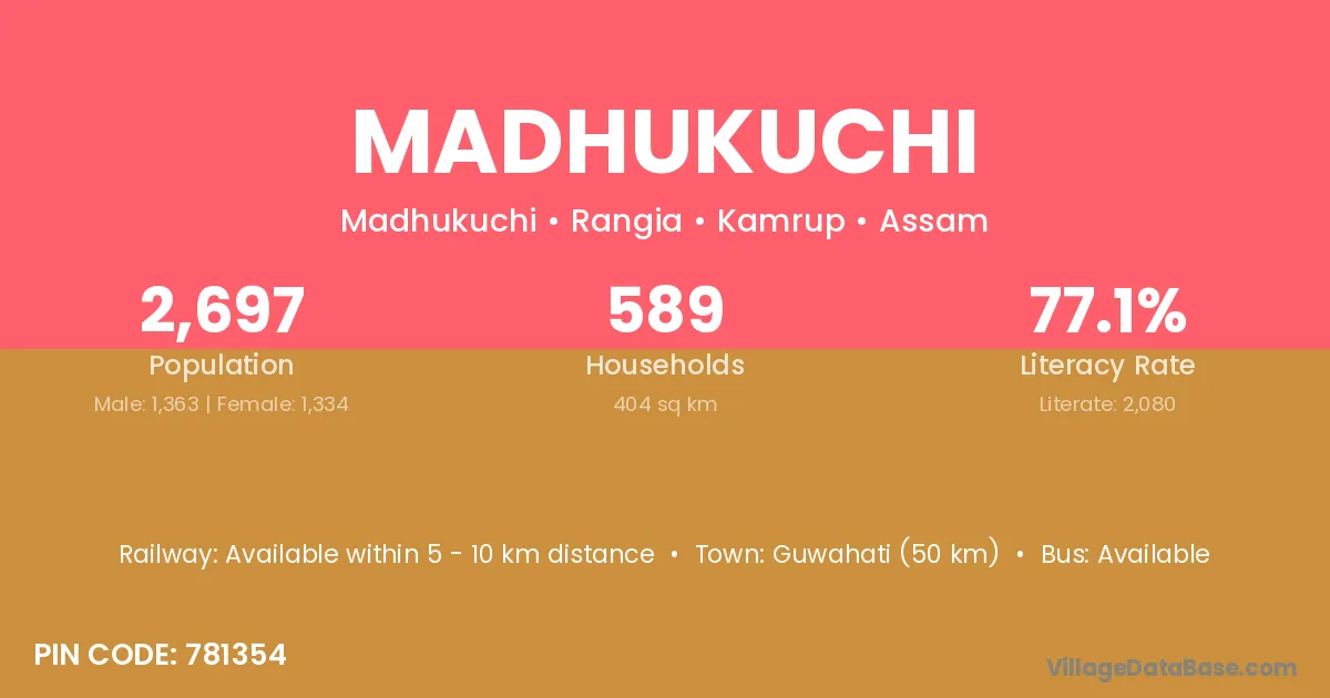
Madhukuchi village is located in the Rangia Subdivision of the Kamrup district in Assam .
Block / Subdivision → Rangia
District → Kamrup
State → Assam
According to Census 2011 information, the village code of Madhukuchi village is 781354.
Madhukuchi village has a total population of 2,697 people, of which 1,363 are males and 1,334 are females.
The literacy rate of Madhukuchi village is 77.12%. Male literacy stands at 83.64% and female literacy at 70.46%.
There are approximately 589 households in Madhukuchi village.
Guwahati (50 km) is the nearest town to Madhukuchi village for major economic activities and is located approximately 50 km away.
The population of Madhukuchi village is distributed between literate and illiterate residents as follows:
| Particulars | Male | Female | Total |
|---|---|---|---|
| Literate | 1,140 | 940 | 2,080 |
| Illiterate | 223 | 394 | 617 |
| Total | 1,363 | 1,334 | 2,697 |
Source: Census 2011
| Village | District |
|---|---|
| Barkuriha | Kamrup |
| Barkuriha | Nalbari |
| Dhankunda | Kamrup |
| Dhankunda | Munger |
| Dhankunda | Godda |
| Jajikona | Kamrup |
| Kalmani | Kamrup |
| Kalmani | Belgaum |
| Kalmani | Dhar |
| Niz Hassang No 1 | Kamrup |
| Niz Hassang No 2 | Kamrup |
| Niz Hassang No 3 | Kamrup |
| Panara | Barpeta |
| Panara | Kamrup |
| Panara | Chhindwara |
| Panara | Mahoba |
| Panara | Puruliya |
| Panara | Puruliya |
| Titkuri No 1 | Kamrup |
| Titkuri No 2 | Kamrup |
| Titkuri No 3 | Kamrup |
No reviews yet. Be the first to review this village!
Available within 5 - 10 km distance
Available within village
Available within village