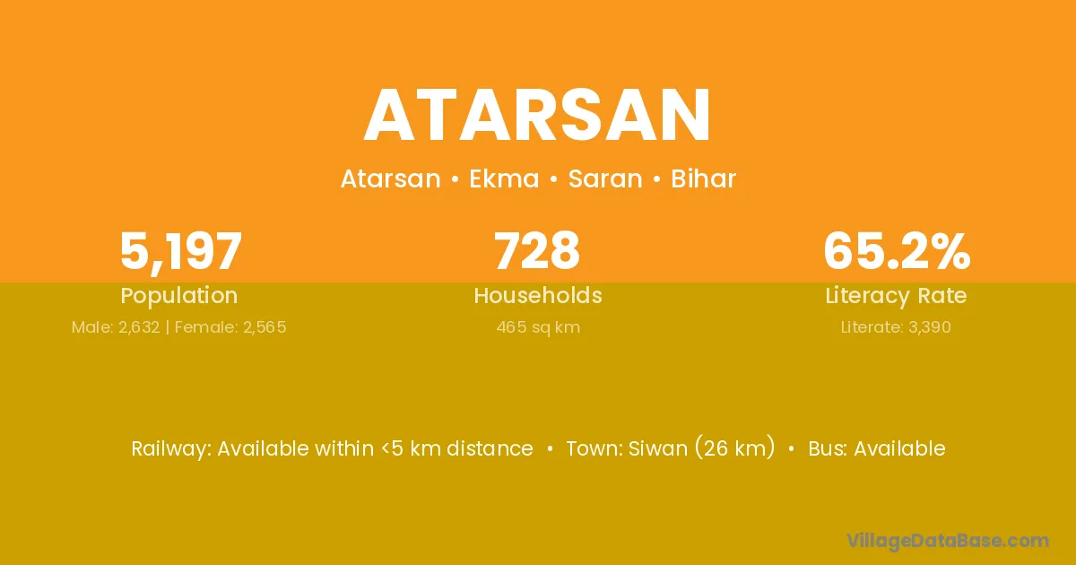
Atarsan village is located in the Ekma Subdivision of the Saran district in Bihar .
Block / Subdivision → Ekma
District → Saran
State → Bihar
Atarsan village has a total population of 5,197 people, of which 2,632 are males and 2,565 are females.
The literacy rate of Atarsan village is 65.23%. Male literacy stands at 75.76% and female literacy at 54.42%.
There are approximately 728 households in Atarsan village.
Siwan (26 km) is the nearest town to Atarsan village for major economic activities and is located approximately 26 km away.
The population of Atarsan village is distributed between literate and illiterate residents as follows:
| Particulars | Male | Female | Total |
|---|---|---|---|
| Literate | 1,994 | 1,396 | 3,390 |
| Illiterate | 638 | 1,169 | 1,807 |
| Total | 2,632 | 2,565 | 5,197 |
Source: Census 2011
| Village | District |
|---|---|
| Asahni | Saran |
| Benaut | Saran |
| Dewpura | Saran |
| Dohar | Kishanganj |
| Dohar | Saran |
| Dohar | Kaithal |
| Dohar | Solan |
| Dohar | Datia |
| Dohar | Hoshiarpur |
| Dohar | Mirzapur |
| Ithari | Madhepura |
| Ithari | Saran |
| Khajuhan | Saran |
| Khajuhan | Ghazipur |
| Siuri | Saran |
| Siuri | Saran |
| Siuri | Siwan |
| Siuri | Garhwa |
| Siuri | Palamu |
| Siuri | Deoria |
| Siuri | Ghazipur |
| Soraunu | Saran |
| Telia Dih | Saran |
| Telia Dih | Gorakhpur |
| Tesuar | Saran |
No reviews yet. Be the first to review this village!
Available within <5 km distance
Available within <5 km distance
Available within <5 km distance