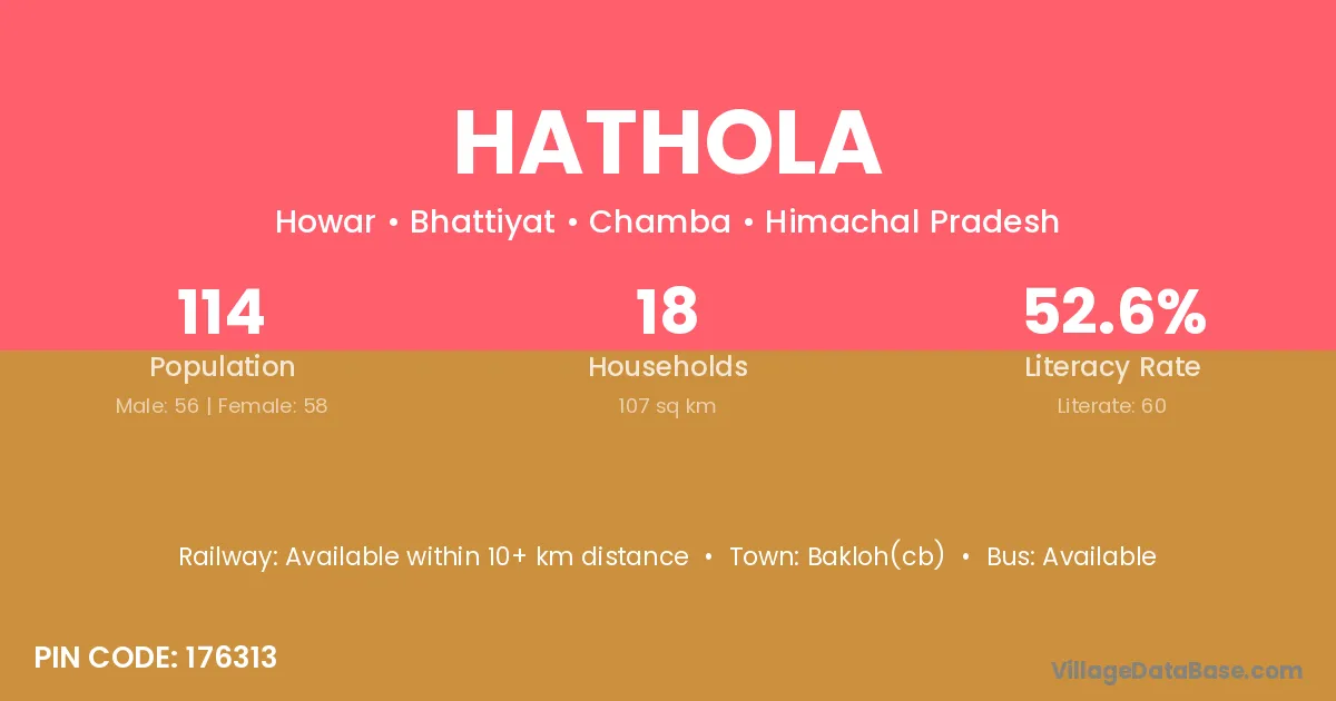
Hathola village is located in the Bhattiyat Tehsil of the Chamba district in Himachal Pradesh .
Block / Tehsil → Bhattiyat
District → Chamba
State → Himachal Pradesh
According to Census 2011 information, the village code of Hathola village is 176313.
Hathola village has a total population of 114 people, of which 56 are males and 58 are females.
The literacy rate of Hathola village is 52.63%. Male literacy stands at 55.36% and female literacy at 50.00%.
There are approximately 18 households in Hathola village.
Bakloh(cb) is the nearest town to Hathola village for major economic activities
The population of Hathola village is distributed between literate and illiterate residents as follows:
| Particulars | Male | Female | Total |
|---|---|---|---|
| Literate | 31 | 29 | 60 |
| Illiterate | 25 | 29 | 54 |
| Total | 56 | 58 | 114 |
Source: Census 2011
| Village | District |
|---|---|
| Bahora | Katihar |
| Bahora | Purnia |
| Bahora | Saran |
| Bahora | Jashpur |
| Bahora | Chamba |
| Bahora | Sahibzada Ajit Singh Nagar |
| Bahora | Farrukhabad |
| Bahora | Kanshiram Nagar |
| Chalera | Chamba |
| Chalera | Chamba |
| Dalori | Chamba |
| Ghiuin | Chamba |
| Hobar Jarei | Chamba |
| Kasba Hobar | Chamba |
| Khareda | Panch Mahals |
| Khareda | Patan |
| Khareda | Rajkot |
| Khareda | Rajkot |
| Khareda | Surat |
| Khareda | Surat |
| Khareda | Vadodara |
| Khareda | Vadodara |
| Khareda | Chamba |
| Khareda | Alwar |
| Khareda | Tonk |
| Mahot Jangal | Chamba |
| Manola | Chamba |
| Manola | Chamba |
| Manola | Mandi |
| Manola | Mandi |
| Rang | East Kameng |
| Rang | Chamba |
| Rang | Udhampur |
| Rang | Nuapada |
| Utki | Chamba |
No reviews yet. Be the first to review this village!
Available within 10+ km distance
Available within <5 km distance
Available within <5 km distance