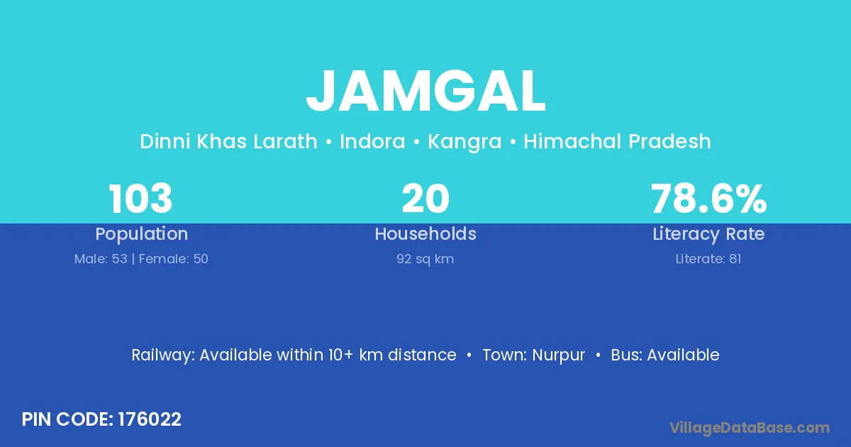
Jamgal village is located in the Indora Tehsil of the Kangra district in Himachal Pradesh .
Block / Tehsil → Indora
District → Kangra
State → Himachal Pradesh
According to Census 2011 information, the village code of Jamgal village is 176022.
Jamgal village has a total population of 103 people, of which 53 are males and 50 are females.
The literacy rate of Jamgal village is 78.64%. Male literacy stands at 75.47% and female literacy at 82.00%.
There are approximately 20 households in Jamgal village.
Nurpur is the nearest town to Jamgal village for major economic activities
The population of Jamgal village is distributed between literate and illiterate residents as follows:
| Particulars | Male | Female | Total |
|---|---|---|---|
| Literate | 40 | 41 | 81 |
| Illiterate | 13 | 9 | 22 |
| Total | 53 | 50 | 103 |
Source: Census 2011
| Village | District |
|---|---|
| Bharnoli | Kangra |
| Bharnoli | Kangra |
| Bharnoli | Kangra |
| Bharnoli | Gondiya |
| Bhehri | Kangra |
| Bilwan | Kangra |
| Chohka Brahmna | Kangra |
| Dhiala | Kangra |
| Dhiala | Kangra |
| Dini | Kangra |
| Dini | Balaghat |
| Kalawan | Kangra |
| Kalawan | Solan |
| Kalawan | Solan |
| Khanda | Aurangabad |
| Khanda | Bilaspur |
| Khanda | Durg |
| Khanda | Koriya |
| Khanda | Valsad |
| Khanda | Jind |
| Khanda | Sonipat |
| Khanda | Kangra |
| Khanda | Badgam |
| Khanda | Lohardaga |
| Khanda | Pashchimi Singhbhum |
| Khanda | Anuppur |
| Khanda | Shahdol |
| Khanda | Shivpuri |
| Khanda | Bargarh |
| Khanda | Dhenkanal |
| Khanda | Kendujhar |
| Khanda | Nabarangapur |
| Khanda | Agra |
| Khanda | Garhwal |
| Matohli | Kangra |
| Salhana | Kangra |
| Salhana | Mandi |
| Salhana | Palamu |
| Salhana | Katni |
| Sanihal | Kangra |
No reviews yet. Be the first to review this village!
Available within 10+ km distance
Available within village
Available within village