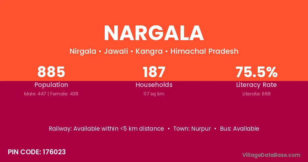
Nargala village is located in the Jawali Tehsil of the Kangra district in Himachal Pradesh .
Block / Tehsil → Jawali
District → Kangra
State → Himachal Pradesh
According to Census 2011 information, the village code of Nargala village is 176023.
Nargala village has a total population of 885 people, of which 447 are males and 438 are females.
The literacy rate of Nargala village is 75.48%. Male literacy stands at 77.63% and female literacy at 73.29%.
There are approximately 187 households in Nargala village.
Nurpur is the nearest town to Nargala village for major economic activities
The population of Nargala village is distributed between literate and illiterate residents as follows:
| Particulars | Male | Female | Total |
|---|---|---|---|
| Literate | 347 | 321 | 668 |
| Illiterate | 100 | 117 | 217 |
| Total | 447 | 438 | 885 |
Source: Census 2011
| Village | District |
|---|---|
| Bhalun | Hamirpur |
| Bhalun | Kangra |
| Bhalun | Kangra |
| Bhalun | Shimla |
| Bhanai | Kangra |
| Bhol | Kangra |
| Bhol | Gurdaspur |
| Bhol | Paschim Medinipur |
| Bhol | Paschim Medinipur |
| Gurah | Kangra |
| Gurah | Nagaur |
| Gurah | Hardoi |
| Jaisar | Kangra |
| Jaisar | Sundargarh |
| Jaisar | Barmer |
| Jaisar | Bahraich |
| Jaisar | Gorakhpur |
| Jaisar | Bageshwar |
| Janala | Kangra |
| Lab | Kangra |
| Mutlahr | Kangra |
| Palaura Khas | Kangra |
| Sahura | Kangra |
| Sahura | Jaunpur |
| Samlana | Kangra |
No reviews yet. Be the first to review this village!
Available within <5 km distance
Available within <5 km distance
Available within village