Welcome Back

Forgot password?
Don't have an account?
🏘️ Menu
Kangra District 0.0 / 5 (0)

Pail Village Detailed Information

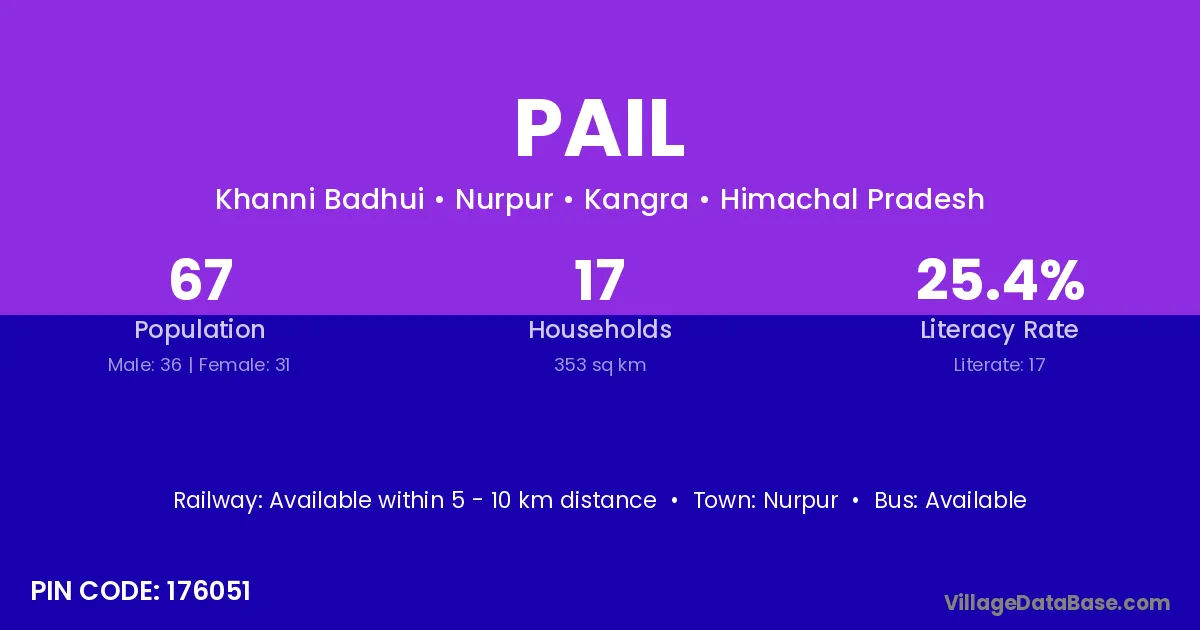
Pail village is located in the Nurpur Tehsil of the Kangra district in Himachal Pradesh .

Pail

About Pail Village

Block / Tehsil → Nurpur

District → Kangra

State → Himachal Pradesh

According to Census 2011 information, the village code of Pail village is 176051.

Pail village has a total population of 67 people, of which 36 are males and 31 are females.

The literacy rate of Pail village is 25.37%. Male literacy stands at 30.56% and female literacy at 19.35%.

There are approximately 17 households in Pail village.

Nurpur is the nearest town to Pail village for major economic activities

Population of Pail Village

The population of Pail village is distributed between literate and illiterate residents as follows:

Population distribution of Pail village by literacy and gender
Particulars Male Female Total
Literate 11 6 17
Illiterate 25 25 50
Total 36 31 67

Source: Census 2011

Nearby Villages

Frequently Asked Questions

Pail village is located in the Nurpur Tehsil of the Kangra district in Himachal Pradesh.
The total population is 67 people.
36 males and 31 females.
The literacy rate is 25.37%.
Male literacy rate is 30.56%, and female literacy rate is 19.35%.
There are approximately 17 houses in Pail village.
Nurpur is the nearest town, located approximately km away.

Reviews and Ratings

0.0 / 5 (0 reviews)

Reviews

No reviews yet. Be the first to review this village!

Pail Village Statistics

Population
67
Area
353 km²
Households
17
Nearest Town :
Nurpur

Quick Information

State / UT : Himachal Pradesh
Pincode : 176051
Total Area : 353 km²
Population : 67
Households : 17
Gram Panchayat : Khanni Badhui
Nearest Town : Nurpur

Connectivity of Pail

🚂 Railway Station

Available within 5 - 10 km distance

🚌 Public Bus Service

Available within 5 - 10 km distance

🚌 Private Bus Service

Available within 5 - 10 km distance

Need Help?