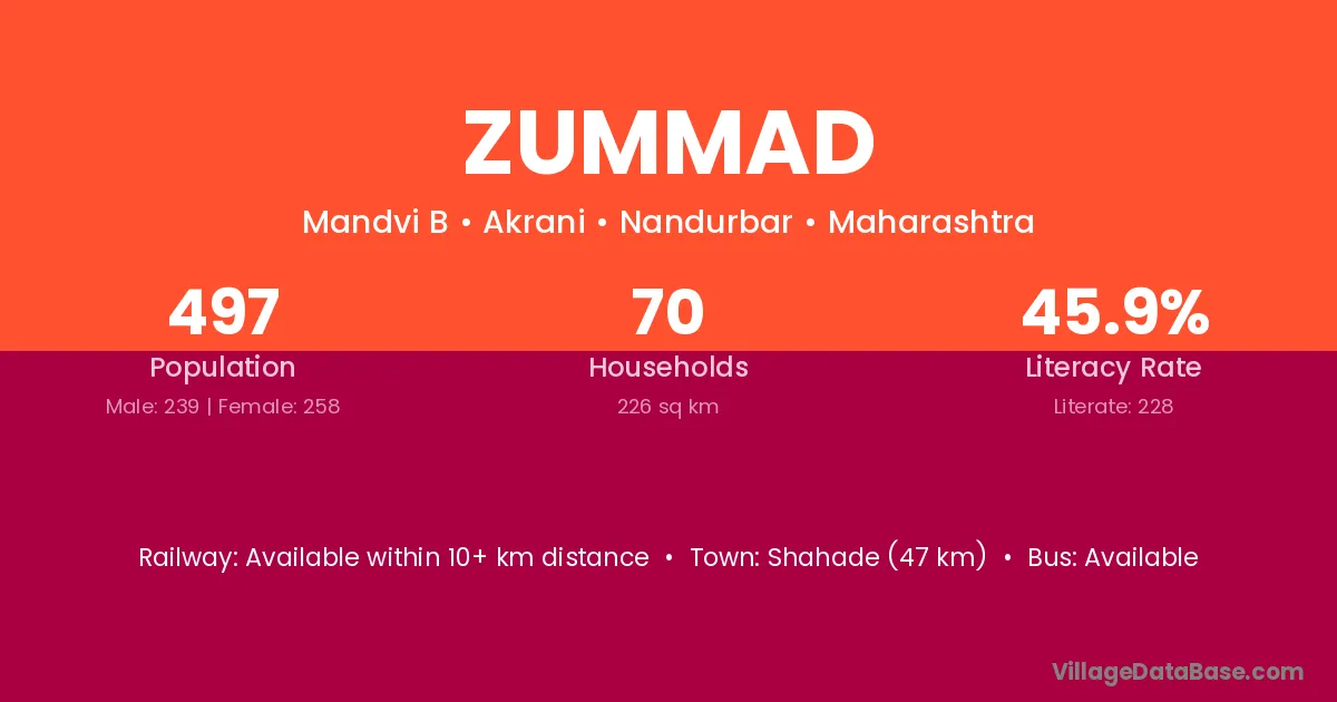
Zummad village is located in the Akrani Tehsil of the Nandurbar district in Maharashtra .
Block / Tehsil → Akrani
District → Nandurbar
State → Maharashtra
Zummad village has a total population of 497 people, of which 239 are males and 258 are females.
The literacy rate of Zummad village is 45.88%. Male literacy stands at 51.05% and female literacy at 41.09%.
There are approximately 70 households in Zummad village.
Shahade (47 km) is the nearest town to Zummad village for major economic activities and is located approximately 47 km away.
The population of Zummad village is distributed between literate and illiterate residents as follows:
| Particulars | Male | Female | Total |
|---|---|---|---|
| Literate | 122 | 106 | 228 |
| Illiterate | 117 | 152 | 269 |
| Total | 239 | 258 | 497 |
Source: Census 2011
| Village | District |
|---|---|
| Bhabri | Nandurbar |
| Bhabri | Balrampur |
| Bhadal | Kangra |
| Bhadal | Barwani |
| Bhadal | Nandurbar |
| Bhadal | Amritsar |
| Bhadal | Gurdaspur |
| Bhadal | Tarn Taran |
| Bhadal | Baghpat |
| Bodala | Nandurbar |
| Bodala | Wardha |
| Bodala | Sikar |
| Kelimojara | Nandurbar |
| Khadkale Bk | Nandurbar |
| Khadkale Kh | Nandurbar |
| Maktarzira | Nandurbar |
| Sadri | Nandurbar |
| Sadri | Banswara |
| Sadri | Jodhpur |
| Sadri | Rajsamand |
| Udadya | Nandurbar |
| Vavi | Nandurbar |
| Warwali | Nandurbar |
No reviews yet. Be the first to review this village!
Available within 10+ km distance
Available within 5 - 10 km distance
Available within 10+ km distance