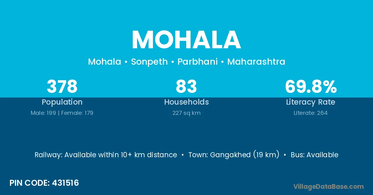
Mohala village is located in the Sonpeth Tehsil of the Parbhani district in Maharashtra .
Block / Tehsil → Sonpeth
District → Parbhani
State → Maharashtra
According to Census 2011 information, the village code of Mohala village is 431516.
Mohala village has a total population of 378 people, of which 199 are males and 179 are females.
The literacy rate of Mohala village is 69.84%. Male literacy stands at 77.39% and female literacy at 61.45%.
There are approximately 83 households in Mohala village.
Gangakhed (19 km) is the nearest town to Mohala village for major economic activities and is located approximately 19 km away.
The population of Mohala village is distributed between literate and illiterate residents as follows:
| Particulars | Male | Female | Total |
|---|---|---|---|
| Literate | 154 | 110 | 264 |
| Illiterate | 45 | 69 | 114 |
| Total | 199 | 179 | 378 |
Source: Census 2011
| Village | District |
|---|---|
| Awalgaon | Chandrapur |
| Awalgaon | Jalna |
| Awalgaon | Parbhani |
| Awalgaon | Yavatmal |
| Awalgaon | Nizamabad |
| Bhisegaon | Parbhani |
| Chukar Pimpri | Parbhani |
| Kortek | Parbhani |
| Kothala | Nanded |
| Kothala | Osmanabad |
| Kothala | Parbhani |
| Kothala | Parbhani |
| Kothala | Barmer |
| Kothala | Jhalawar |
| Kothala | Kota |
| Kothala Tanda | Parbhani |
| Naikota | Parbhani |
| Naikota | Chandauli |
| Pohandul | Parbhani |
| Pohandul | Parbhani |
| Pohandul | Yavatmal |
| Pohandul Tanda | Parbhani |
| Tiwathana | Parbhani |
| Wandan | Parbhani |
No reviews yet. Be the first to review this village!
Available within 10+ km distance
Available within <5 km distance
Available within 10+ km distance