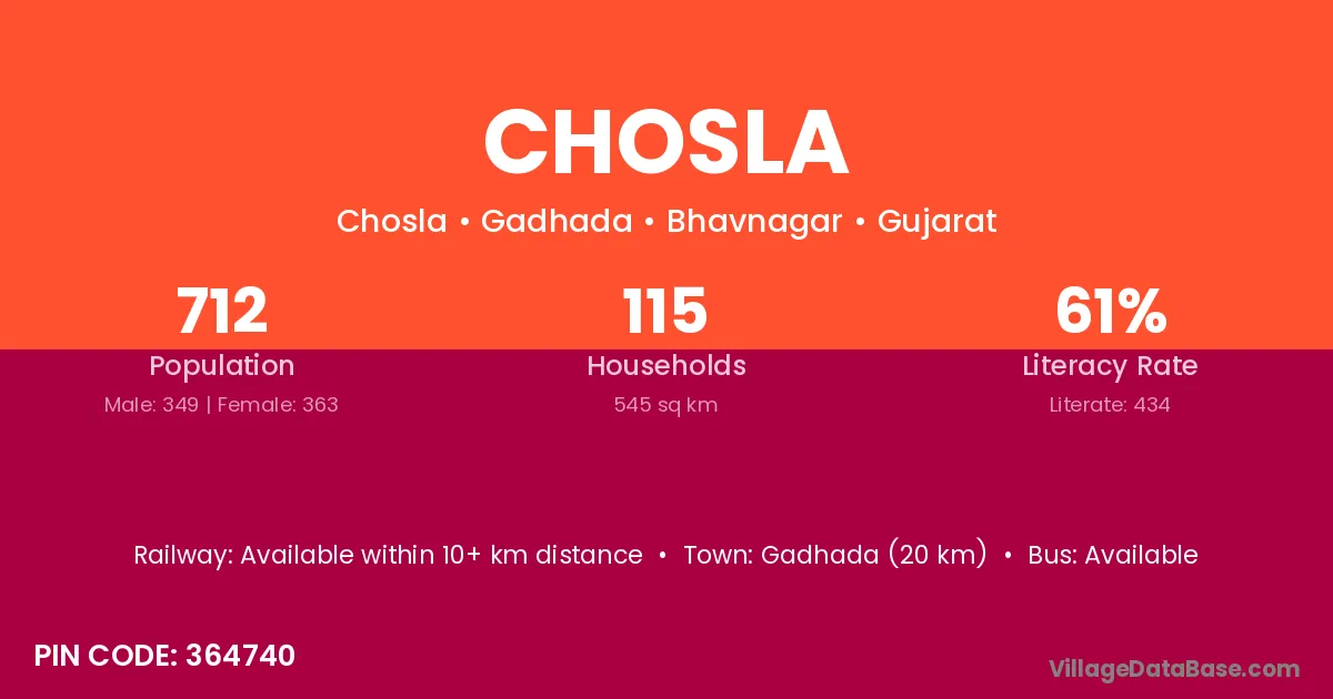
Chosla village is located in the Thanagazi Tehsil of the Alwar district in Rajasthan .
Block / Tehsil → Thanagazi
District → Alwar
State → Rajasthan
According to Census 2011 information, the village code of Chosla village is 301027.
Chosla village has a total population of 873 people, of which 456 are males and 417 are females.
The literacy rate of Chosla village is 54.41%. Male literacy stands at 67.76% and female literacy at 39.81%.
There are approximately 148 households in Chosla village.
Viratnagar (33 km) is the nearest town to Chosla village for major economic activities and is located approximately 33 km away.
The population of Chosla village is distributed between literate and illiterate residents as follows:
| Particulars | Male | Female | Total |
|---|---|---|---|
| Literate | 309 | 166 | 475 |
| Illiterate | 147 | 251 | 398 |
| Total | 456 | 417 | 873 |
Source: Census 2011
| Village | District |
|---|---|
| Amka | Koriya |
| Amka | Mewat |
| Amka | Alwar |
| Amka | Bijnor |
| Amka | Gautam Buddha Nagar |
| Badhana Ka Bas | Alwar |
| Bhadach | Alwar |
| Bhanwata | Alwar |
| Bhanwata | Dausa |
| Bhanwata | Dausa |
| Bhanwata | Nagaur |
| Bhanwata | Tonk |
| Bhanwata | Tonk |
| Bhooriyawas | Alwar |
| Bhooriyawas | Alwar |
| Kabli Garh | Alwar |
| Narhat | Nawada |
| Narhat | Siwan |
| Narhat | Alwar |
| Padak Chhapli | Alwar |
| Rundh Jhiri | Alwar |
| Sanwatsar | Alwar |
| Sanwatsar | Bikaner |
| Sanwatsar | Jodhpur |
| Toda | Amreli |
| Toda | Banas Kantha |
| Toda | Bhavnagar |
| Toda | Jamnagar |
| Toda | Kachchh |
| Toda | Panchkula |
| Toda | Ashoknagar |
| Toda | Datia |
| Toda | Gwalior |
| Toda | Sagar |
| Toda | Shivpuri |
| Toda | Shivpuri |
| Toda | Alwar |
| Toda | Alwar |
| Toda | Bharatpur |
| Toda | Jhalawar |
| Toda | Karauli |
| Toda | Sikar |
| Toda | Udaipur |
| Toda | Bijnor |
| Toda | Muzaffarnagar |
| Toda | Muzaffarnagar |
No reviews yet. Be the first to review this village!
Available within 10+ km distance
Available within 5 - 10 km distance
Available within 5 - 10 km distance