Machhlaiya village is located in the Aspur Tehsil of the Dungarpur district in Rajasthan .
Block / Tehsil → Aspur
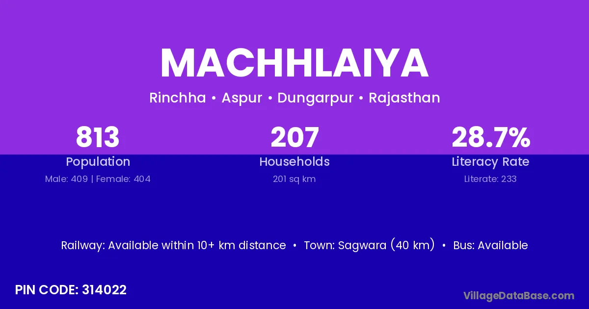
District → Dungarpur
State → Rajasthan
According to Census 2011 information, the village code of Machhlaiya village is 314022.
Machhlaiya village has a total population of 813 people, of which 409 are males and 404 are females.
The literacy rate of Machhlaiya village is 28.66%. Male literacy stands at 38.39% and female literacy at 18.81%.
There are approximately 207 households in Machhlaiya village.
Sagwara (40 km) is the nearest town to Machhlaiya village for major economic activities and is located approximately 40 km away.
The population of Machhlaiya village is distributed between literate and illiterate residents as follows:
| Particulars | Male | Female | Total |
|---|---|---|---|
| Literate | 157 | 76 | 233 |
| Illiterate | 252 | 328 | 580 |
| Total | 409 | 404 | 813 |
Source: Census 2011
| Village | District |
|---|---|
| Biloora | Dungarpur |
| Bosi | Dungarpur |
| Bosi | Udaipur |
| Gamri | Banswara |
| Gamri | Dungarpur |
| Gamri | Rajsamand |
| Gamri | Udaipur |
| Gamri | Udaipur |
| Gamri | Udaipur |
| Gamri | Moradabad |
| Gamri | Uttarkashi |
| Harver | Dungarpur |
| Kanoriya | Dungarpur |
| Kharadi | Bhavnagar |
| Kharadi | Dewas |
| Kharadi | Khargone |
| Kharadi | Khargone |
| Kharadi | Neemuch |
| Kharadi | Ahmadnagar |
| Kharadi | Bhandara |
| Kharadi | Jalgaon |
| Kharadi | Dungarpur |
| Kharadi | Pali |
| Lembata | Dungarpur |
| Mata | Tumkur |
| Mata | Sidhi |
| Mata | Churachandpur |
| Mata | Mayurbhanj |
| Mata | Dungarpur |
| Mata | Banda |
| Mata | Ghazipur |
| Nithauwa | Dungarpur |
| Nithauwa | Dungarpur |
| Pal Nithauwa | Dungarpur |
| Reenchha | Dungarpur |
No reviews yet. Be the first to review this village!
Available within 10+ km distance
Available within <5 km distance
Available within <5 km distance