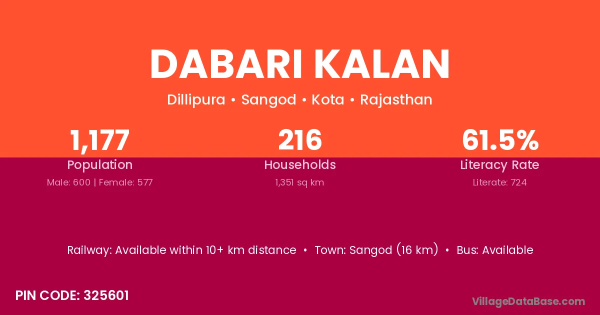
Dabari Kalan village is located in the Sangod Tehsil of the Kota district in Rajasthan .
Block / Tehsil → Sangod
District → Kota
State → Rajasthan
According to Census 2011 information, the village code of Dabari Kalan village is 325601.
Dabari Kalan village has a total population of 1,177 people, of which 600 are males and 577 are females.
The literacy rate of Dabari Kalan village is 61.51%. Male literacy stands at 75.33% and female literacy at 47.14%.
There are approximately 216 households in Dabari Kalan village.
Sangod (16 km) is the nearest town to Dabari Kalan village for major economic activities and is located approximately 16 km away.
The population of Dabari Kalan village is distributed between literate and illiterate residents as follows:
| Particulars | Male | Female | Total |
|---|---|---|---|
| Literate | 452 | 272 | 724 |
| Illiterate | 148 | 305 | 453 |
| Total | 600 | 577 | 1,177 |
Source: Census 2011
| Village | District |
|---|---|
| Aloti | Shimla |
| Aloti | Kota |
| Boodhani | Kota |
| Dabri Khurd | Kota |
| Dheeraheri | Kota |
| Ghas Khera | Kota |
| Ghas Khera | Pratapgarh |
| Lola Heri | Kota |
| Machhalya | Kota |
| Ramoti | Kota |
| Relawad | Kota |
| Soonda | Kota |
| Umarda | Dhamtari |
| Umarda | Mahasamund |
| Umarda | Surat |
| Umarda | Surendranagar |
| Umarda | Tapi |
| Umarda | Anuppur |
| Umarda | Barwani |
| Umarda | Burhanpur |
| Umarda | Dewas |
| Umarda | Khandwa |
| Umarda | Dhule |
| Umarda | Wardha |
| Umarda | Washim |
| Umarda | Yavatmal |
| Umarda | Kota |
| Umarda | Pratapgarh |
| Umarda | Udaipur |
| Umarda | Adilabad |
| Umarda | Kannauj |
No reviews yet. Be the first to review this village!
Available within 10+ km distance
Available within 5 - 10 km distance
Available within 5 - 10 km distance