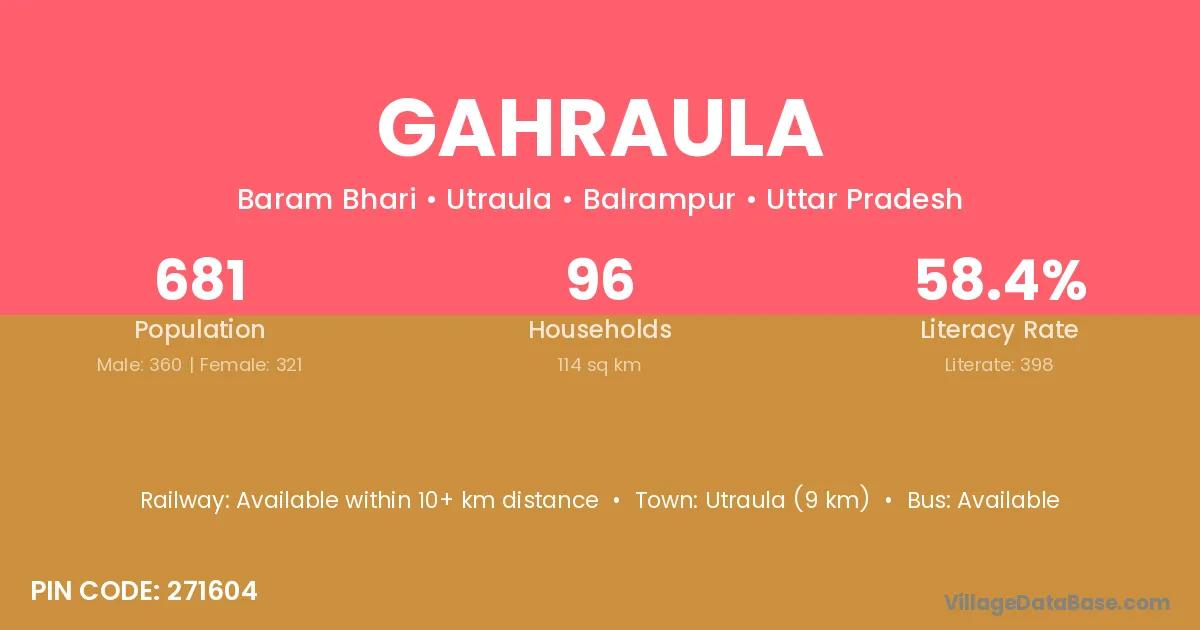
Gahraula village is located in the Utraula Tehsil of the Balrampur district in Uttar Pradesh .
Block / Tehsil → Utraula
District → Balrampur
State → Uttar Pradesh
According to Census 2011 information, the village code of Gahraula village is 271604.
Gahraula village has a total population of 681 people, of which 360 are males and 321 are females.
The literacy rate of Gahraula village is 58.44%. Male literacy stands at 70.00% and female literacy at 45.48%.
There are approximately 96 households in Gahraula village.
Utraula (9 km) is the nearest town to Gahraula village for major economic activities and is located approximately 9 km away.
The population of Gahraula village is distributed between literate and illiterate residents as follows:
| Particulars | Male | Female | Total |
|---|---|---|---|
| Literate | 252 | 146 | 398 |
| Illiterate | 108 | 175 | 283 |
| Total | 360 | 321 | 681 |
Source: Census 2011
| Village | District |
|---|---|
| Baram Bhari | Balrampur |
| Bedaula | Balrampur |
| Belaspur | Aurangabad |
| Belaspur | Rohtas |
| Belaspur | Rohtas |
| Belaspur | Siwan |
| Belaspur | Palamu |
| Belaspur | Ambedkar Nagar |
| Belaspur | Ballia |
| Belaspur | Balrampur |
| Belaspur | Gorakhpur |
| Belaspur | Mahrajganj |
| Belaspur | Mahrajganj |
| Belaspur | Mahrajganj |
| Bileria | Balrampur |
| Ganveria Bujurg | Balrampur |
| Ganveria Khurd | Balrampur |
| Jogia Karaiya | Balrampur |
| Kandsar | Raipur |
| Kandsar | Balrampur |
| Mana Par Baheria | Balrampur |
| Rampur Murar | Balrampur |
| Rampur Murar | Bijnor |
| Sakara Itai Adam | Balrampur |
No reviews yet. Be the first to review this village!
Available within 10+ km distance
Available within 5 - 10 km distance
Available within 5 - 10 km distance