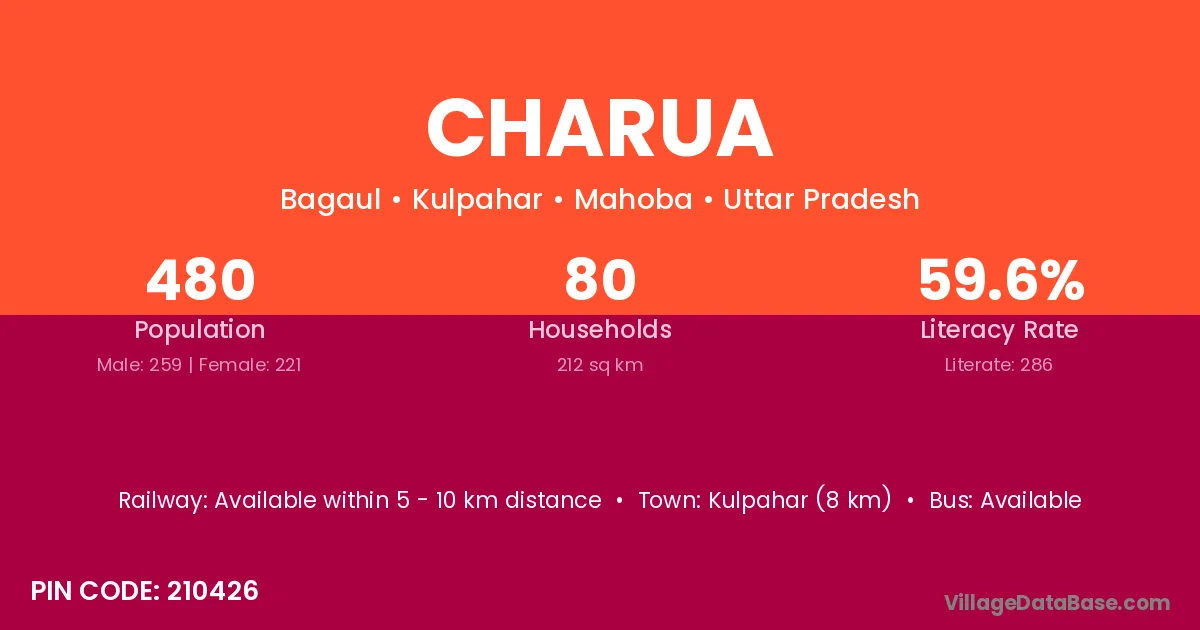
Charua village is located in the Kulpahar Tehsil of the Mahoba district in Uttar Pradesh .
Block / Tehsil → Kulpahar
District → Mahoba
State → Uttar Pradesh
According to Census 2011 information, the village code of Charua village is 210426.
Charua village has a total population of 480 people, of which 259 are males and 221 are females.
The literacy rate of Charua village is 59.58%. Male literacy stands at 75.68% and female literacy at 40.72%.
There are approximately 80 households in Charua village.
Kulpahar (8 km) is the nearest town to Charua village for major economic activities and is located approximately 8 km away.
The population of Charua village is distributed between literate and illiterate residents as follows:
| Particulars | Male | Female | Total |
|---|---|---|---|
| Literate | 196 | 90 | 286 |
| Illiterate | 63 | 131 | 194 |
| Total | 259 | 221 | 480 |
Source: Census 2011
| Village | District |
|---|---|
| Bagaul | Madhubani |
| Bagaul | Mahoba |
| Bharwara | Darbhanga |
| Bharwara | Samastipur |
| Bharwara | Katni |
| Bharwara | Narsimhapur |
| Bharwara | Panna |
| Bharwara | Lucknow |
| Bharwara | Mahoba |
| Bijrari | Mahoba |
| Budhi | Araria |
| Budhi | Doda |
| Budhi | Kathua |
| Budhi | Balaghat |
| Budhi | Jabalpur |
| Budhi | Satna |
| Budhi | Hamirpur |
| Budhi | Lalitpur |
| Budhi | Mahoba |
| Budhi | Murshidabad |
| Budhi | Murshidabad |
| Chandan Has | Mahoba |
| Churari | Bilaspur |
| Churari | Ashoknagar |
| Churari | Sagar |
| Churari | Tikamgarh |
| Churari | Jhansi |
| Churari | Mahoba |
| Dwasi | Mahoba |
| Kunata | Mahoba |
| Leta | Jalor |
| Leta | Mahoba |
| Pahariya | Janjgir Champa |
| Pahariya | Deoghar |
| Pahariya | Katni |
| Pahariya | Jaipur |
| Pahariya | Mahoba |
| Pathari Kadim | Mahoba |
No reviews yet. Be the first to review this village!
Available within 5 - 10 km distance
Available within 5 - 10 km distance
Available within 5 - 10 km distance