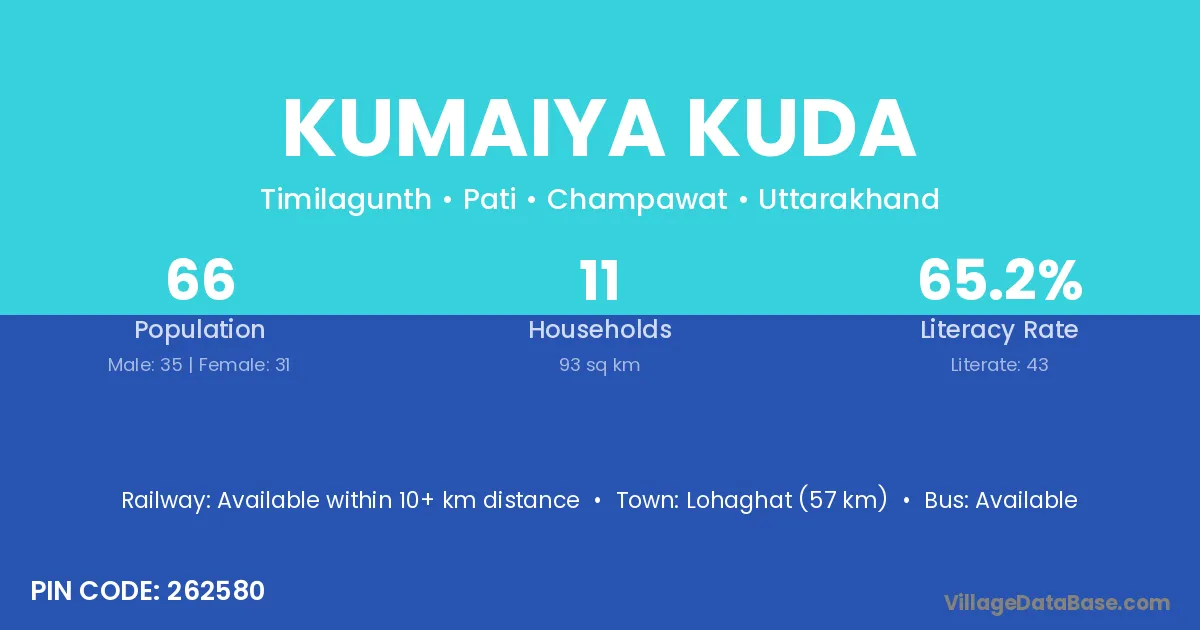
Kumaiya Kuda village is located in the Pati Tehsil of the Champawat district in Uttarakhand .
Block / Tehsil → Pati
District → Champawat
State → Uttarakhand
According to Census 2011 information, the village code of Kumaiya Kuda village is 262580.
Kumaiya Kuda village has a total population of 66 people, of which 35 are males and 31 are females.
The literacy rate of Kumaiya Kuda village is 65.15%. Male literacy stands at 80.00% and female literacy at 48.39%.
There are approximately 11 households in Kumaiya Kuda village.
Lohaghat (57 km) is the nearest town to Kumaiya Kuda village for major economic activities and is located approximately 57 km away.
The population of Kumaiya Kuda village is distributed between literate and illiterate residents as follows:
| Particulars | Male | Female | Total |
|---|---|---|---|
| Literate | 28 | 15 | 43 |
| Illiterate | 7 | 16 | 23 |
| Total | 35 | 31 | 66 |
Source: Census 2011
| Village | District |
|---|---|
| Anarpa | Champawat |
| Anarpa | Nainital |
| Baman Chapar | Champawat |
| Baswari | Madhubani |
| Baswari | Samastipur |
| Baswari | Ghazipur |
| Baswari | Hamirpur |
| Baswari | Champawat |
| Dechmar | Champawat |
| Kanikot | Champawat |
| Kanwar | Durg |
| Kanwar | Raisen |
| Kanwar | Kaushambi |
| Kanwar | Siddharthnagar |
| Kanwar | Champawat |
| Kaphalti | Champawat |
| Pakhauti | Champawat |
| Sango | Kurung Kumey |
| Sango | Kurung Kumey |
| Sango | Papum Pare |
| Sango | Papum Pare |
| Sango | Mirzapur |
| Sango | Champawat |
| Timla Guth | Champawat |
| Valik | Champawat |
No reviews yet. Be the first to review this village!
Available within 10+ km distance
Available within 5 - 10 km distance
Available within 5 - 10 km distance