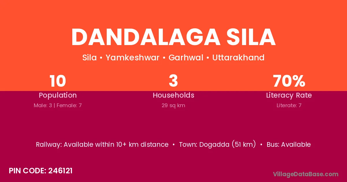
Dandalaga Sila village is located in the Yamkeshwar Tehsil of the Garhwal district in Uttarakhand .
Block / Tehsil → Yamkeshwar
District → Garhwal
State → Uttarakhand
According to Census 2011 information, the village code of Dandalaga Sila village is 246121.
Dandalaga Sila village has a total population of 10 people, of which 3 are males and 7 are females.
The literacy rate of Dandalaga Sila village is 70.00%. Male literacy stands at 66.67% and female literacy at 71.43%.
There are approximately 3 households in Dandalaga Sila village.
Dogadda (51 km) is the nearest town to Dandalaga Sila village for major economic activities and is located approximately 51 km away.
The population of Dandalaga Sila village is distributed between literate and illiterate residents as follows:
| Particulars | Male | Female | Total |
|---|---|---|---|
| Literate | 2 | 5 | 7 |
| Illiterate | 1 | 2 | 3 |
| Total | 3 | 7 | 10 |
Source: Census 2011
| Village | District |
|---|---|
| Chamkot | Garhwal |
| Chamkot | Garhwal |
| Chamkot | Garhwal |
| Chamkot | Uttarkashi |
| Gundi Talli | Garhwal |
| Gundi Walli | Garhwal |
| Jiya Katal | Garhwal |
| Mazo | Garhwal |
| Panchur | Garhwal |
| Panchur | Garhwal |
| Panchur | Garhwal |
| Panchur | Bankura |
| Pherwa | Hardoi |
| Pherwa | Garhwal |
| Raj Sera | Garhwal |
| Raj Sera | Garhwal |
| Raj Sera | Garhwal |
| Sila | Barpeta |
| Sila | Kamrup |
| Sila | Gaya |
| Sila | Reasi |
| Sila | Chatra |
| Sila | Dehradun |
| Sila | Garhwal |
| Tifaria Lagga Sera | Garhwal |
| Tilfaria Sera Kandi | Garhwal |
No reviews yet. Be the first to review this village!
Available within 10+ km distance
Available within 10+ km distance
Available within 10+ km distance