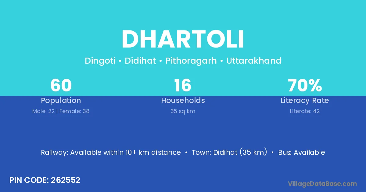
Dhartoli village is located in the Didihat Tehsil of the Pithoragarh district in Uttarakhand .
Block / Tehsil → Didihat
District → Pithoragarh
State → Uttarakhand
According to Census 2011 information, the village code of Dhartoli village is 262552.
Dhartoli village has a total population of 60 people, of which 22 are males and 38 are females.
The literacy rate of Dhartoli village is 70.00%. Male literacy stands at 86.36% and female literacy at 60.53%.
There are approximately 16 households in Dhartoli village.
Didihat (35 km) is the nearest town to Dhartoli village for major economic activities and is located approximately 35 km away.
The population of Dhartoli village is distributed between literate and illiterate residents as follows:
| Particulars | Male | Female | Total |
|---|---|---|---|
| Literate | 19 | 23 | 42 |
| Illiterate | 3 | 15 | 18 |
| Total | 22 | 38 | 60 |
Source: Census 2011
| Village | District |
|---|---|
| Baram Bachkuri | Pithoragarh |
| Batyuli | Pithoragarh |
| Binayak | Nawada |
| Binayak | Chamoli |
| Binayak | Pithoragarh |
| Chaliya Gaon | Pithoragarh |
| Chaupara | Kanshiram Nagar |
| Chaupara | Pithoragarh |
| Dhingtar | Pithoragarh |
| Digauti | Pithoragarh |
| Gadera Joshi | Pithoragarh |
| Marh | Fatehabad |
| Marh | Mandi |
| Marh | Jammu |
| Marh | Pithoragarh |
| Phatori | Pithoragarh |
| Simar | Junagadh |
| Simar | Junagadh |
| Simar | Porbandar |
| Simar | Bhind |
| Simar | Karauli |
| Simar | Auraiya |
| Simar | Champawat |
| Simar | Garhwal |
| Simar | Pithoragarh |
No reviews yet. Be the first to review this village!
Available within 10+ km distance
Available within 5 - 10 km distance
Available within 5 - 10 km distance