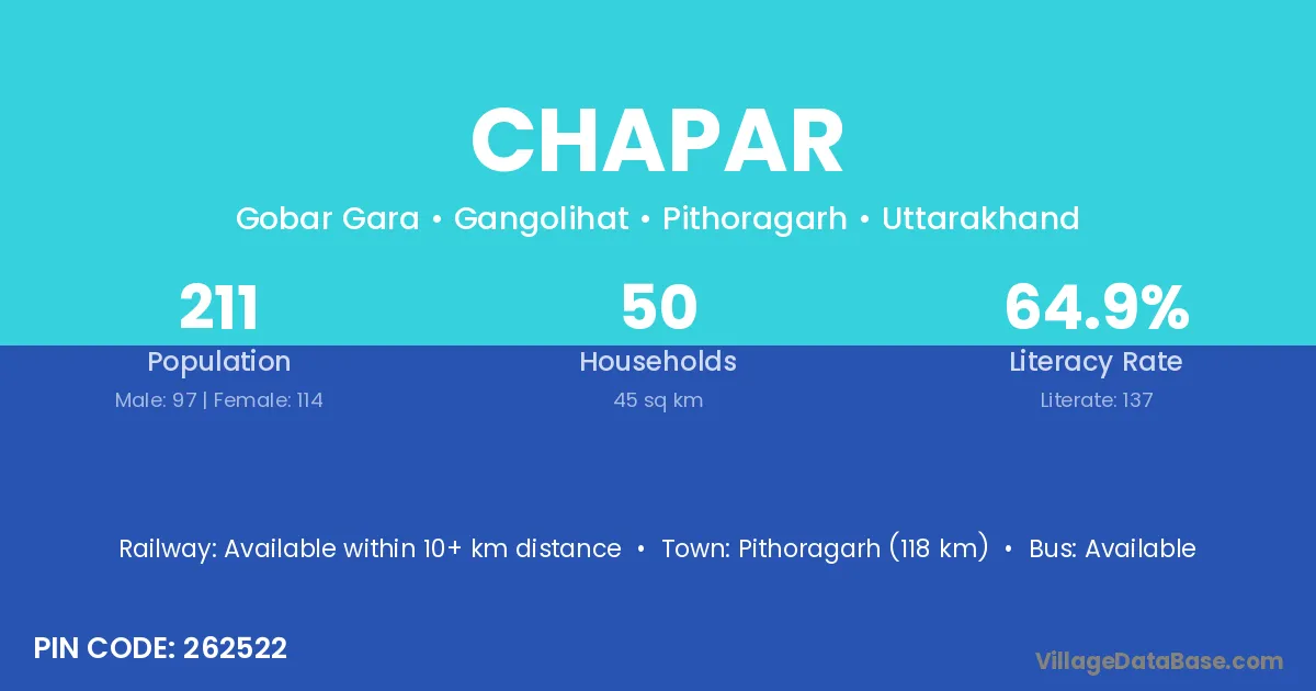
Chapar village is located in the Gangolihat Tehsil of the Pithoragarh district in Uttarakhand .
Block / Tehsil → Gangolihat
District → Pithoragarh
State → Uttarakhand
According to Census 2011 information, the village code of Chapar village is 262522.
Chapar village has a total population of 211 people, of which 97 are males and 114 are females.
The literacy rate of Chapar village is 64.93%. Male literacy stands at 73.20% and female literacy at 57.89%.
There are approximately 50 households in Chapar village.
Pithoragarh (118 km) is the nearest town to Chapar village for major economic activities and is located approximately 118 km away.
The population of Chapar village is distributed between literate and illiterate residents as follows:
| Particulars | Male | Female | Total |
|---|---|---|---|
| Literate | 71 | 66 | 137 |
| Illiterate | 26 | 48 | 74 |
| Total | 97 | 114 | 211 |
Source: Census 2011
| Village | District |
|---|---|
| Biroli | Chhindwara |
| Biroli | Guna |
| Biroli | Gondiya |
| Biroli | Bhadrak |
| Biroli | Kaushambi |
| Biroli | Champawat |
| Biroli | Pithoragarh |
| Biroli | Rudraprayag |
| Chakhbora | Pithoragarh |
| Chauna | Gautam Buddha Nagar |
| Chauna | Pithoragarh |
| Chauna | Pithoragarh |
| Dotari | Pithoragarh |
| Ghaltola | Pithoragarh |
| Gobar Gara | Pithoragarh |
| Gwal | Pithoragarh |
| Kote Kanora | Pithoragarh |
| Kunve | Pithoragarh |
| Pulai | Wardha |
| Pulai | Pithoragarh |
| Thatholi | Pithoragarh |
| Thatholi | Pithoragarh |
No reviews yet. Be the first to review this village!
Available within 10+ km distance
Available within 5 - 10 km distance
Available within 5 - 10 km distance