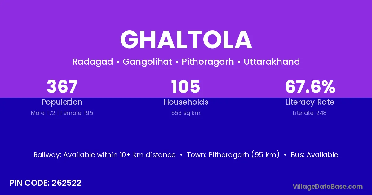
Ghaltola village is located in the Gangolihat Tehsil of the Pithoragarh district in Uttarakhand .
Block / Tehsil → Gangolihat
District → Pithoragarh
State → Uttarakhand
According to Census 2011 information, the village code of Ghaltola village is 262522.
Ghaltola village has a total population of 367 people, of which 172 are males and 195 are females.
The literacy rate of Ghaltola village is 67.57%. Male literacy stands at 75.58% and female literacy at 60.51%.
There are approximately 105 households in Ghaltola village.
Pithoragarh (95 km) is the nearest town to Ghaltola village for major economic activities and is located approximately 95 km away.
The population of Ghaltola village is distributed between literate and illiterate residents as follows:
| Particulars | Male | Female | Total |
|---|---|---|---|
| Literate | 130 | 118 | 248 |
| Illiterate | 42 | 77 | 119 |
| Total | 172 | 195 | 367 |
Source: Census 2011
| Village | District |
|---|---|
| Chakhbora | Pithoragarh |
| Chapar | Samastipur |
| Chapar | Jamnagar |
| Chapar | Umaria |
| Chapar | Patiala |
| Chapar | Sultanpur |
| Chapar | Nainital |
| Chapar | Pithoragarh |
| Chauna | Gautam Buddha Nagar |
| Chauna | Pithoragarh |
| Chauna | Pithoragarh |
| Dotari | Pithoragarh |
| Ghaghal | Pithoragarh |
| Paintoli | Pithoragarh |
| Pulai | Wardha |
| Pulai | Pithoragarh |
| Ratgariya | Pithoragarh |
| Sirari | Raisen |
| Sirari | Pithoragarh |
| Thatholi | Pithoragarh |
| Thatholi | Pithoragarh |
| Tunkholi | Pithoragarh |
No reviews yet. Be the first to review this village!
Available within 10+ km distance
Available within <5 km distance
Available within <5 km distance