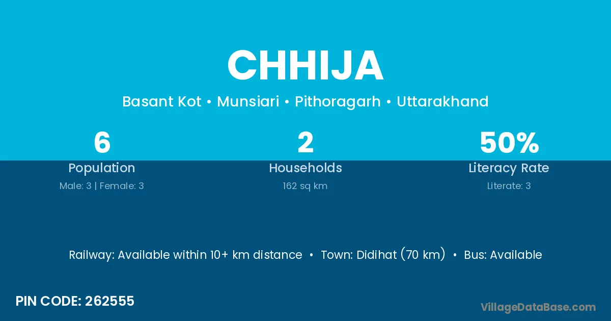
Chhija village is located in the Munsiari Tehsil of the Pithoragarh district in Uttarakhand .
Block / Tehsil → Munsiari
District → Pithoragarh
State → Uttarakhand
According to Census 2011 information, the village code of Chhija village is 262555.
Chhija village has a total population of 6 people, of which 3 are males and 3 are females.
The literacy rate of Chhija village is 50.00%. Male literacy stands at 33.33% and female literacy at 66.67%.
There are approximately 2 households in Chhija village.
Didihat (70 km) is the nearest town to Chhija village for major economic activities and is located approximately 70 km away.
The population of Chhija village is distributed between literate and illiterate residents as follows:
| Particulars | Male | Female | Total |
|---|---|---|---|
| Literate | 1 | 2 | 3 |
| Illiterate | 2 | 1 | 3 |
| Total | 3 | 3 | 6 |
Source: Census 2011
| Village | District |
|---|---|
| Basantkot | Pithoragarh |
| Bothi | Betul |
| Bothi | Vidisha |
| Bothi | Hingoli |
| Bothi | Latur |
| Bothi | Nanded |
| Bothi | Parbhani |
| Bothi | Pithoragarh |
| Chulkot | Pithoragarh |
| Dhauliua Dunga | Pithoragarh |
| Dhuratoli | Pithoragarh |
| Gaila Malla | Pithoragarh |
| Khata | Kheda |
| Khata | Solan |
| Khata | Medak |
| Khata | Bareilly |
| Khata | Bareilly |
| Khata | Bareilly |
| Khata | Jyotiba Phule Nagar |
| Khata | Meerut |
| Khata | Moradabad |
| Khata | Pilibhit |
| Khata | Rampur |
| Khata | Pithoragarh |
| Phapha | Pithoragarh |
| Ringu | Pithoragarh |
| Sana | Ramban |
| Sana | Dhanbad |
| Sana | Pithoragarh |
| Wadni | Pithoragarh |
No reviews yet. Be the first to review this village!
Available within 10+ km distance
Available within 10+ km distance
Available within 10+ km distance