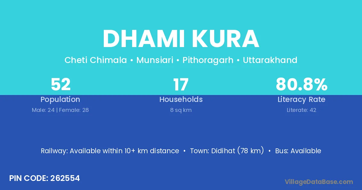
Dhami Kura village is located in the Munsiari Tehsil of the Pithoragarh district in Uttarakhand .
Block / Tehsil → Munsiari
District → Pithoragarh
State → Uttarakhand
According to Census 2011 information, the village code of Dhami Kura village is 262554.
Dhami Kura village has a total population of 52 people, of which 24 are males and 28 are females.
The literacy rate of Dhami Kura village is 80.77%. Male literacy stands at 79.17% and female literacy at 82.14%.
There are approximately 17 households in Dhami Kura village.
Didihat (78 km) is the nearest town to Dhami Kura village for major economic activities and is located approximately 78 km away.
The population of Dhami Kura village is distributed between literate and illiterate residents as follows:
| Particulars | Male | Female | Total |
|---|---|---|---|
| Literate | 19 | 23 | 42 |
| Illiterate | 5 | 5 | 10 |
| Total | 24 | 28 | 52 |
Source: Census 2011
| Village | District |
|---|---|
| Akhoriya | Pithoragarh |
| Barniya Gaon | Pithoragarh |
| Cheti Chimla | Pithoragarh |
| Ghorpatta Malla | Pithoragarh |
| Jaduk | Pithoragarh |
| Kawa Dhar | Pithoragarh |
| Khasiya Bara | Pithoragarh |
| Minal Gaon | Pithoragarh |
| Sela | Chamba |
| Sela | Chhatarpur |
| Sela | Barmer |
| Sela | Barmer |
| Sela | Pali |
| Sela | Bijnor |
| Sela | Pithoragarh |
| Sela | Pithoragarh |
| Teli | Tawang |
| Teli | Ramban |
| Teli | Viluppuram |
| Teli | Pithoragarh |
| Telkot | Pithoragarh |
No reviews yet. Be the first to review this village!
Available within 10+ km distance
Available within 5 - 10 km distance
Available within 5 - 10 km distance