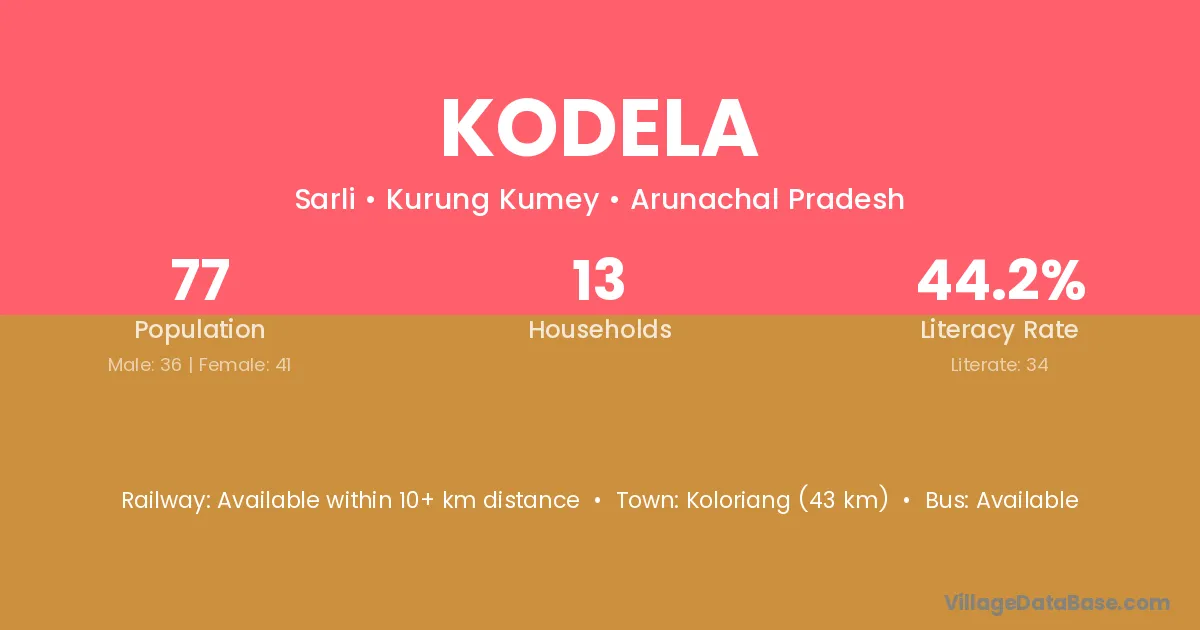
Kodela village is located in the Sarli Circle of the Kurung Kumey district in Arunachal Pradesh .
Block / Circle → Sarli
District → Kurung Kumey
State → Arunachal Pradesh
Kodela village has a total population of 77 people, of which 36 are males and 41 are females.
The literacy rate of Kodela village is 44.16%. Male literacy stands at 33.33% and female literacy at 53.66%.
There are approximately 13 households in Kodela village.
Koloriang (43 km) is the nearest town to Kodela village for major economic activities and is located approximately 43 km away.
The population of Kodela village is distributed between literate and illiterate residents as follows:
| Particulars | Male | Female | Total |
|---|---|---|---|
| Literate | 12 | 22 | 34 |
| Illiterate | 24 | 19 | 43 |
| Total | 36 | 41 | 77 |
Source: Census 2011
| Village | District |
|---|---|
| Chaching | Kurung Kumey |
| Kaney | Kurung Kumey |
| Lenteso | Kurung Kumey |
| Machane | Kurung Kumey |
| Namjo | Kurung Kumey |
| Pale | Kurung Kumey |
| Pale | West Siang |
| Pale | Gaya |
| Pale | North Goa |
| Pale | North Goa |
| Pale | South Goa |
| Pale | Dharwad |
| Pale | Pune |
| Pale | Raigarh |
| Pale | Raigarh |
| Pale | Ratnagiri |
| Pale | Thane |
| Sope | Kurung Kumey |
| Tai | Kurung Kumey |
| Tai | West Siang |
| Tai | Chamba |
| Tai | Panna |
| Tai | Gajapati |
| Tai | Chittaurgarh |
| Tai | Hamirpur |
| Tai | Jhansi |
| Tai | Shahjahanpur |
| Topak | Kurung Kumey |
| Wabia | Kurung Kumey |
| Walu | Kurung Kumey |
No reviews yet. Be the first to review this village!
Available within 10+ km distance
Available within 10+ km distance
Available within 10+ km distance