Welcome Back

Forgot password?
Don't have an account?
🏘️ Menu
Munger District 0.0 / 5 (0)

Goarwadih Village Detailed Information

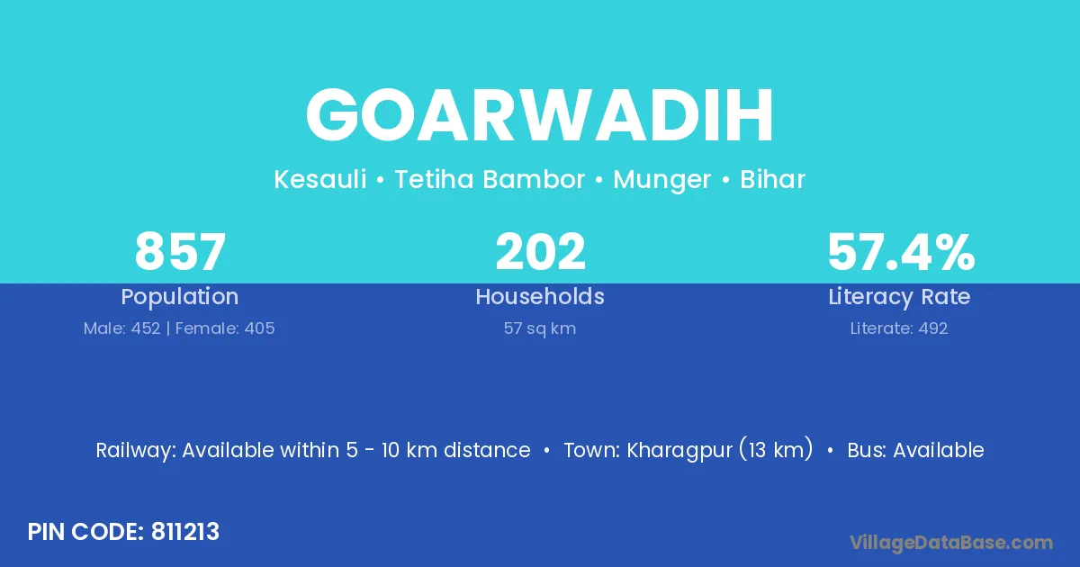
Goarwadih village is located in the Tetiha Bambor Subdivision of the Munger district in Bihar .

About Goarwadih Village

Block / Subdivision → Tetiha Bambor

District → Munger

State → Bihar

According to Census 2011 information, the village code of Goarwadih village is 811213.

Goarwadih village has a total population of 857 people, of which 452 are males and 405 are females.

The literacy rate of Goarwadih village is 57.41%. Male literacy stands at 59.73% and female literacy at 54.81%.

There are approximately 202 households in Goarwadih village.

Kharagpur (13 km) is the nearest town to Goarwadih village for major economic activities and is located approximately 13 km away.

Population of Goarwadih Village

The population of Goarwadih village is distributed between literate and illiterate residents as follows:

Population distribution of Goarwadih village by literacy and gender
Particulars Male Female Total
Literate 270 222 492
Illiterate 182 183 365
Total 452 405 857

Source: Census 2011

Nearby Villages

List of nearby villages around Goarwadih village
Village District
Bhunna Munger
Bhunna Kaithal
Bhunna Kannauj
Dharmikharwe Munger
Jitwarpur Araria
Jitwarpur Araria
Jitwarpur Banka
Jitwarpur Begusarai
Jitwarpur Katihar
Jitwarpur Katihar
Jitwarpur Madhubani
Jitwarpur Munger
Jitwarpur Munger
Jitwarpur Purba Champaran
Jitwarpur Saran
Jitwarpur Sheikhpura
Jitwarpur Gorakhpur
Kesuli Madhubani
Kesuli Munger
Kesuli Pali
Kharwe Munger
Kharwe Raipur
Lagma Bhagalpur
Lagma Khagaria
Lagma Munger
Lagma Munger
Lagma Munger
Lagma Saharsa
Lagma Saharsa
Lagma Samastipur
Lagma Garhwa
Lagma Balaghat
Lagma Balaghat
Manga Kharwe Munger
Mojura Munger
Rainian Munger
Rajadih Munger
Rajadih Rohtas
Rajadih Bilaspur
Rajadih Mahasamund
Rajadih Deoghar
Rajadih Dumka
Tama Munger
Tama Koraput
Tama Gorakhpur
Tama Sant Kabir Nagar

Frequently Asked Questions

Goarwadih village is located in the Tetiha Bambor Subdivision of the Munger district in Bihar.
The total population is 857 people.
452 males and 405 females.
The literacy rate is 57.41%.
Male literacy rate is 59.73%, and female literacy rate is 54.81%.
There are approximately 202 houses in Goarwadih village.
Kharagpur (13 km) is the nearest town, located approximately 13 km away.

Reviews and Ratings

0.0 / 5 (0 reviews)

Reviews

No reviews yet. Be the first to review this village!

Goarwadih Village Statistics

Population
857
Area
57 km²
Households
202
Nearest Town :
Kharagpur (13 km)

Quick Information

State / UT : Bihar
Pincode : 811213
Total Area : 57 km²
Population : 857
Households : 202
Gram Panchayat : Kesauli
Nearest Town : Kharagpur (13 km)

Connectivity of Goarwadih

🚂 Railway Station

Available within 5 - 10 km distance

🚌 Public Bus Service

Available within 10+ km distance

🚌 Private Bus Service

Available within 10+ km distance

Need Help?

Contact local tourism office for assistance