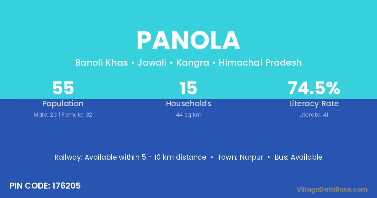
Panola village is located in the Jawali Tehsil of the Kangra district in Himachal Pradesh .
Block / Tehsil → Jawali
District → Kangra
State → Himachal Pradesh
According to Census 2011 information, the village code of Panola village is 176205.
Panola village has a total population of 55 people, of which 23 are males and 32 are females.
The literacy rate of Panola village is 74.55%. Male literacy stands at 73.91% and female literacy at 75.00%.
There are approximately 15 households in Panola village.
Nurpur is the nearest town to Panola village for major economic activities
The population of Panola village is distributed between literate and illiterate residents as follows:
| Particulars | Male | Female | Total |
|---|---|---|---|
| Literate | 17 | 24 | 41 |
| Illiterate | 6 | 8 | 14 |
| Total | 23 | 32 | 55 |
Source: Census 2011
| Village | District |
|---|---|
| Banoli Khas | Kangra |
| Basa | Rohtas |
| Basa | Chamba |
| Basa | Chamba |
| Basa | Kangra |
| Basa | Kangra |
| Basa | Kangra |
| Basa | Kangra |
| Basa | Raisen |
| Basa | Sagar |
| Basa | Hoshiarpur |
| Basa | Udaipur |
| Basa | Jhansi |
| Chachian | Kangra |
| Chakban | Kangra |
| Chakban | Kangra |
| Chakban | Kangra |
| Harnaira | Kangra |
| Mast Garh | Kangra |
| Narial | Kangra |
| Phiral | Kangra |
| Reserve Jangal Mastgarh | Kangra |
| Reserve Jangal Sowarka | Kangra |
| Sowarka | Kangra |
No reviews yet. Be the first to review this village!
Available within 5 - 10 km distance
Available within 5 - 10 km distance
Available within 5 - 10 km distance