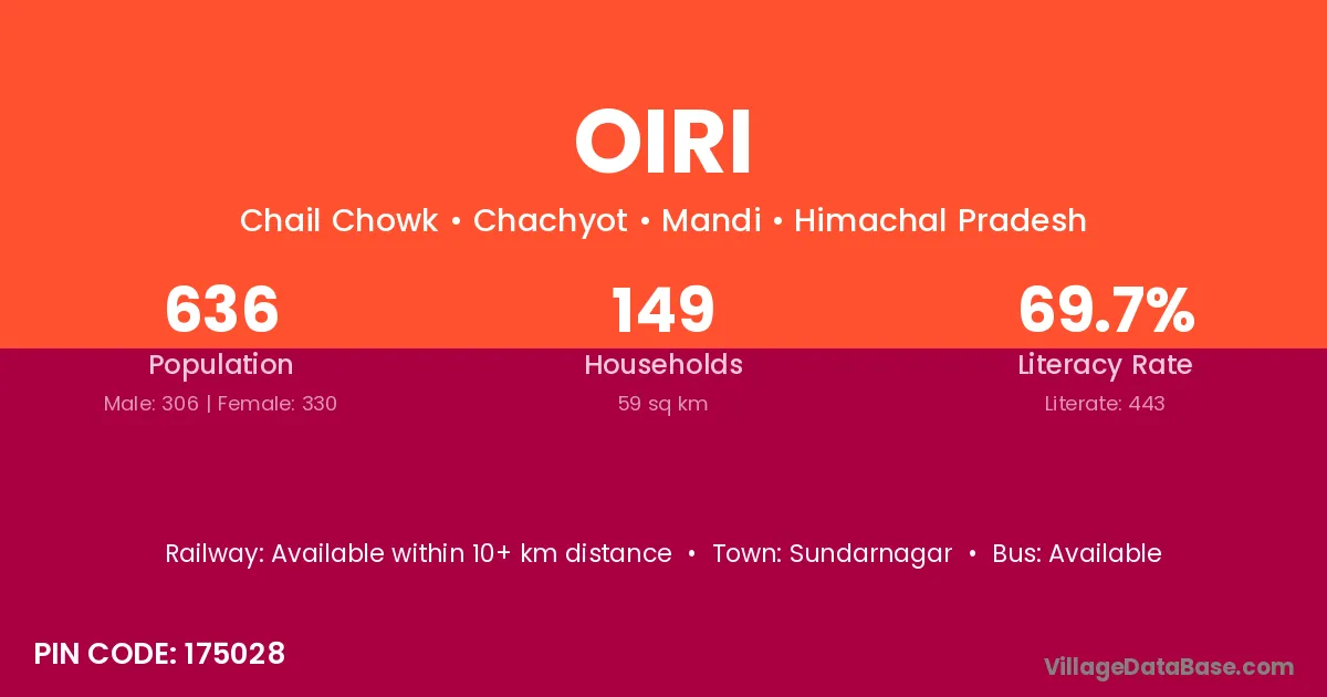
Oiri village is located in the Chachyot Tehsil of the Mandi district in Himachal Pradesh .
Block / Tehsil → Chachyot
District → Mandi
State → Himachal Pradesh
According to Census 2011 information, the village code of Oiri village is 175028.
Oiri village has a total population of 636 people, of which 306 are males and 330 are females.
The literacy rate of Oiri village is 69.65%. Male literacy stands at 77.12% and female literacy at 62.73%.
There are approximately 149 households in Oiri village.
Sundarnagar is the nearest town to Oiri village for major economic activities
The population of Oiri village is distributed between literate and illiterate residents as follows:
| Particulars | Male | Female | Total |
|---|---|---|---|
| Literate | 236 | 207 | 443 |
| Illiterate | 70 | 123 | 193 |
| Total | 306 | 330 | 636 |
Source: Census 2011
| Village | District |
|---|---|
| Baihari | Mandi |
| Baihari | Faizabad |
| Baihari | Jaunpur |
| Baihari | Mahoba |
| Chail | Hamirpur |
| Chail | Kullu |
| Chail | Mandi |
| Chail | Mandi |
| Chail | Solan |
| D P F Kharsi | Mandi |
| D P F Mahithana | Mandi |
| Dari | East Kameng |
| Dari | Kurung Kumey |
| Dari | Kamrup |
| Dari | Junagadh |
| Dari | Bilaspur |
| Dari | Hamirpur |
| Dari | Mandi |
| Dari | Chatra |
| Dari | Chatra |
| Dari | Chatra |
| Dari | Gumla |
| Dari | Hazaribagh |
| Dari | Khunti |
| Dari | Ranchi |
| Dari | Sagar |
| Dari | Tikamgarh |
| Dari | Nashik |
| Dari | Mayurbhanj |
| Dari | Allahabad |
| Dari | Budaun |
| Dari | Mirzapur |
| Dughal | Mandi |
| Ghiyahan | Mandi |
| Karao | Mandi |
| Katlog | Mandi |
| Naihra | Mandi |
| Naihra | Mandi |
| Naun | Kangra |
| Naun | Mandi |
| Naun | Garhwal |
No reviews yet. Be the first to review this village!
Available within 10+ km distance
Available within village
Available within village